
Chance for Isolated Strong Thunderstorms This Evening
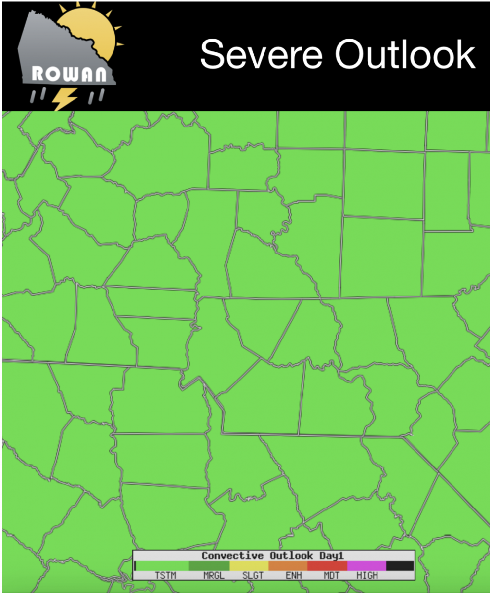
Good Tuesday Morning! We certainly had some heavy downpours around the county last night that has led to Dense Fog this morning. Please take your time if out driving and slow it down just a bit. As for today rain chances are still around as the front remains in place for us once again. The difference between yesterday and today is the rain chances are more isolated but bring with them a better chance for strong thunderstorms. The Storms Prediction Center has us under a General Thunderstorm Risk today.
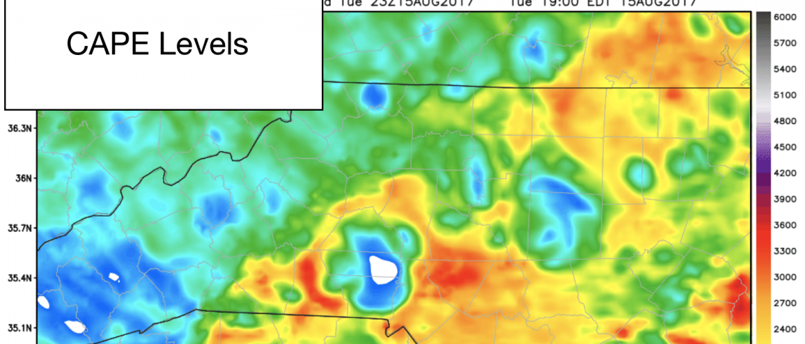
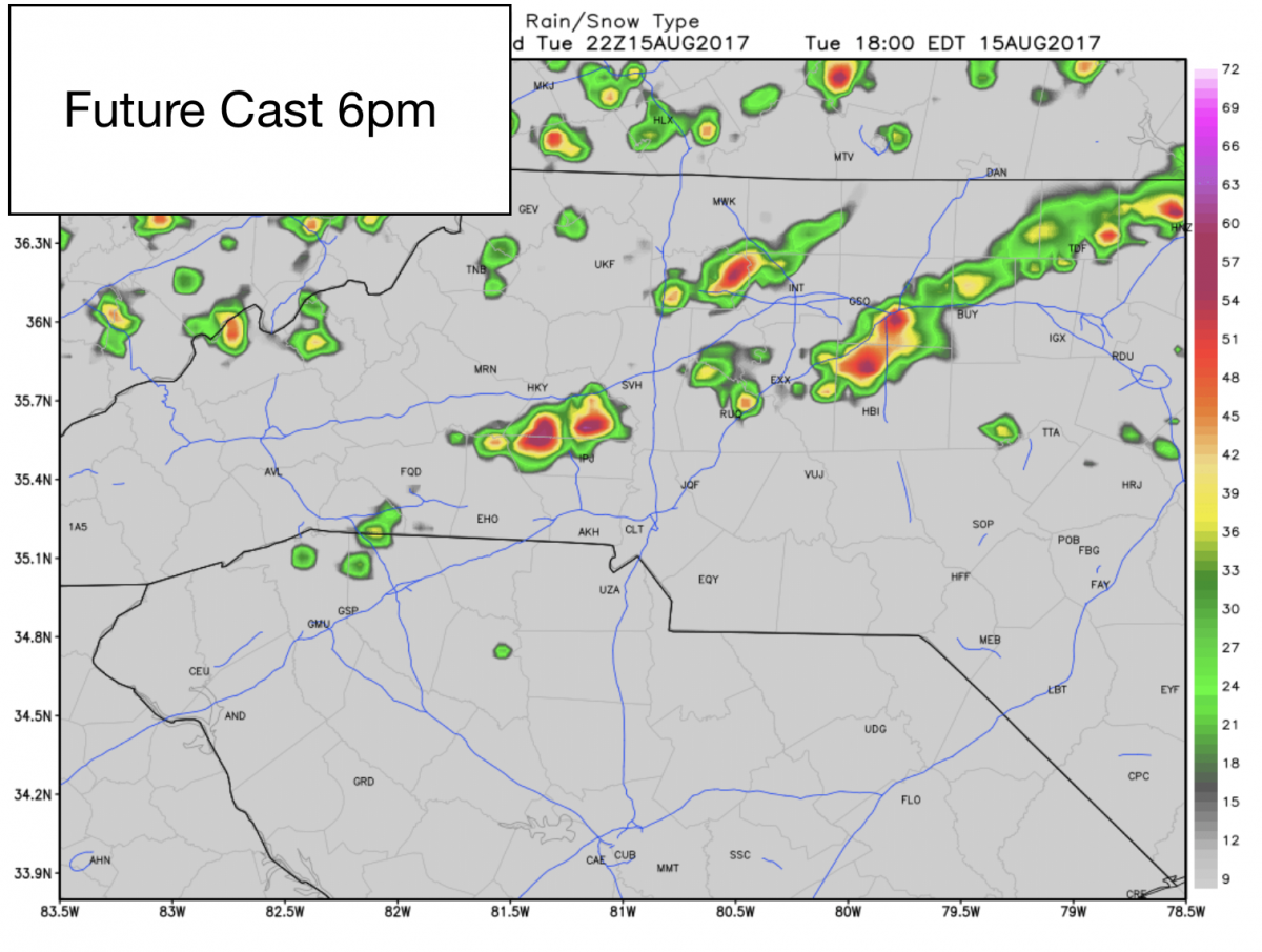
I am expecting the rain chances to pick up in the area and the county after 6pm this evening. As you can see from the cover image of this blog post. The CAPE levels or Thunderstorm Fuel are elevated pretty high during that time. That should give any storm that does form and move through the county a decent chance of bringing heavy downpours with plenty of thunder and lighting along with them.
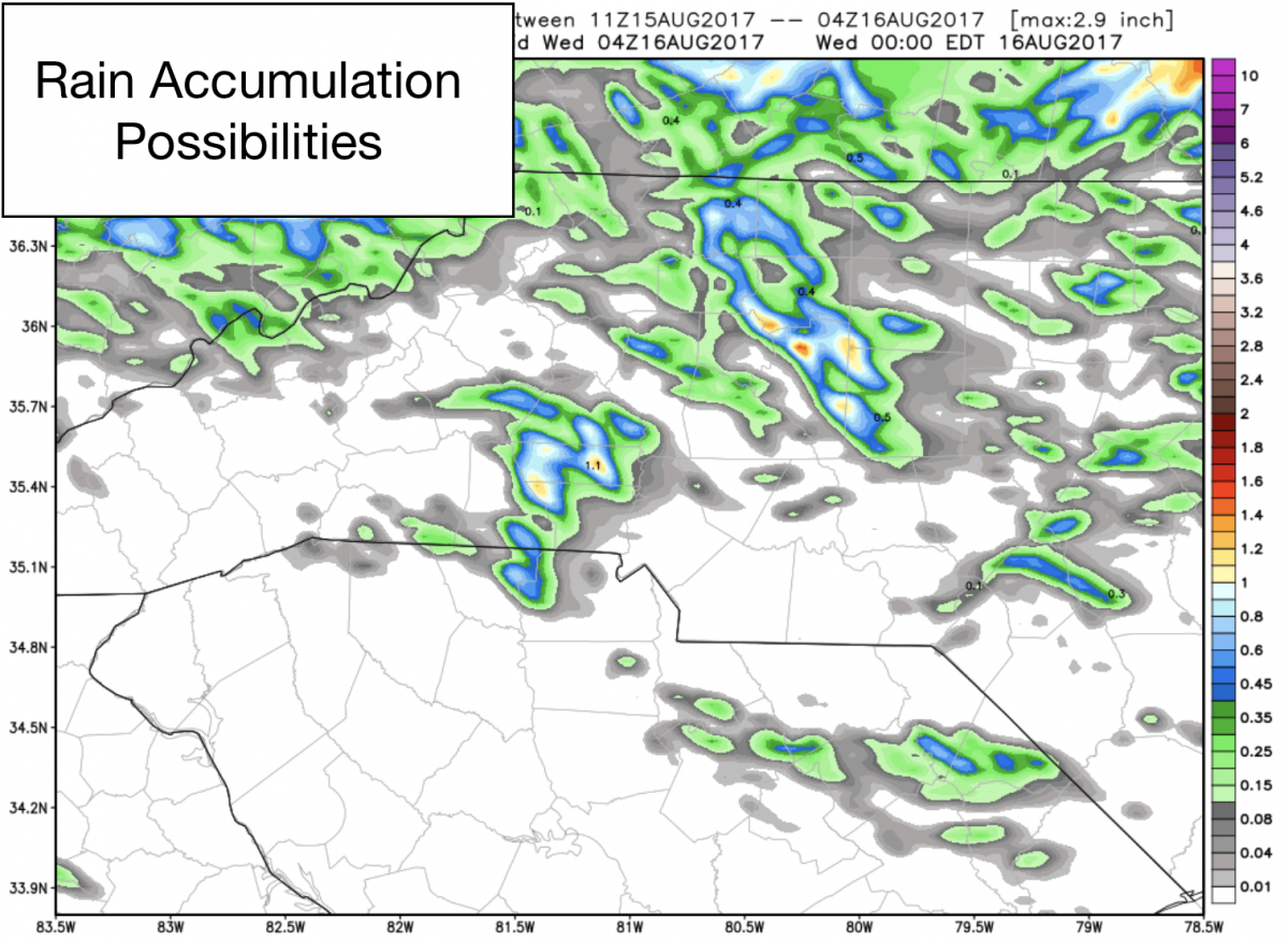
These showers and storms will be so isolated that rain totals are pretty low form the forecast models this morning. I am only forecasting accumulations of around a quarter of an inch. You could see more if a heavy downpour sets up in your location.
I will continue to keep you updated right here and on social media throughout the day. As always thank you for following Rowan County Weather!