
Afternoon and Evening showers and storms possible today
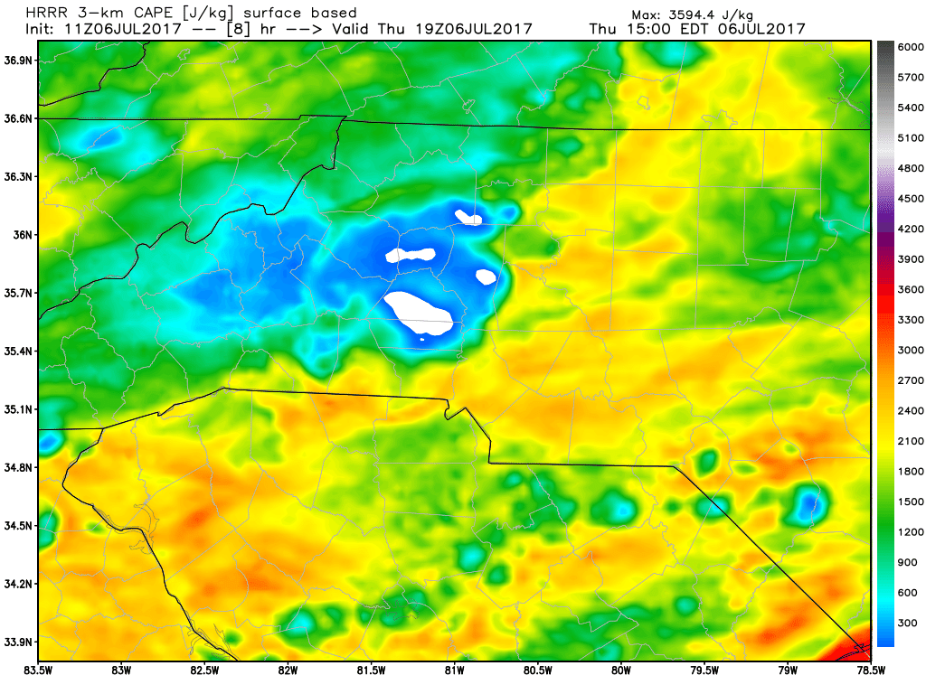
You can expect a repeat of afternoon showers and storms once again today. These showers and storms will be much like yesterdays storms. Not expecting anything severe but CAPE levels (Thunderstorm Fuel) are high enough to get a few strong storms firing in the area.
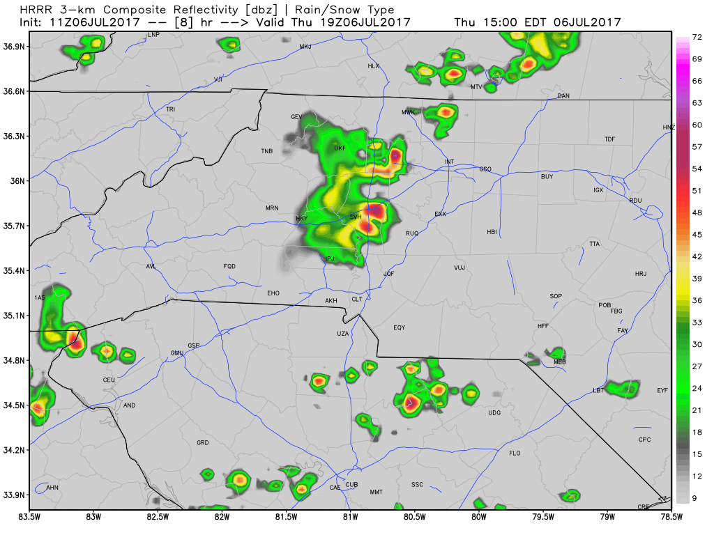
Rain will move in around the evening commute once again. We could see a few rounds of rain tonight with the second wave coming in closer to the 8 to 9pm timeframe. Again not expecting anything severe in nature as the CAPE levels are really the only elevated factor. Shear and other activity looks non existent in the models.
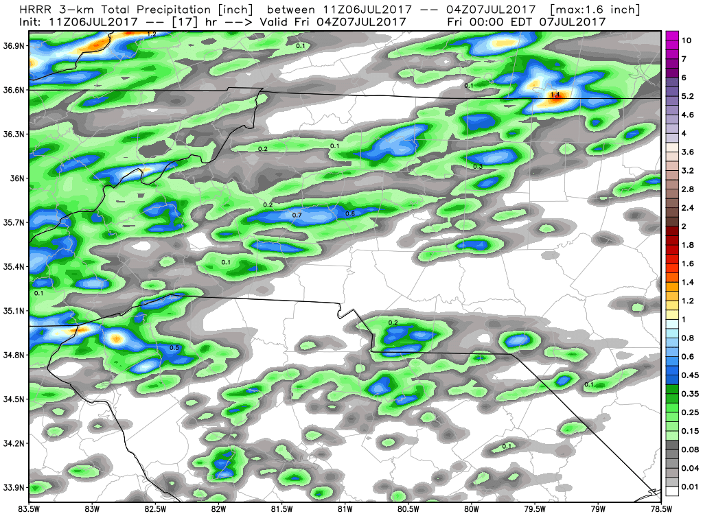
Rainfall accumulation looks to be around a half of an inch to an inch with these showers and storms as they will be moving through at a decent clip much like last nights storms did.
I will of course post updates as storms approach and move through the county right here and on social media. As always thank you for following Rowan County Weather!