
Showers ad storms for Sunday looking very scattered.
The trend continues in the models for the shower and storm chances on Sunday to be very widely scattered and weak.
The biggest thing I am seeing is the moisture will take its sweet time to get here. So much so that Sunday may not be that big of a deal. We may have to begin to look toward Monday with storm chances being the ones to watch.

The Storms Prediction Center is keeping the threat for Severe Weather on Sunday off to our west. The Day 2 models do show a marginal risk for severe weather on Monday in the area. That is something we will have to keep an eye on.
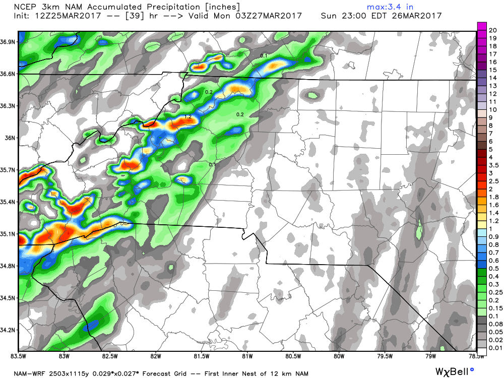
The North American Model is on of the models we will begin to focus on now as this is a short range model that will begin to pull in data the long range models have been working with for a few days now. As we move through the day today the short range models will be where our focus will lie. The accumulation totals expected in the county by late Sunday evening are very minimal based on the data from the NAM model above.
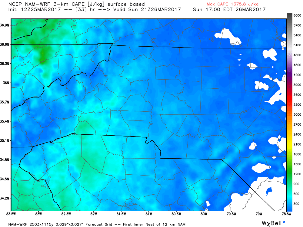
The one thing that will be worth watching tomorrow will be the CAPE levels. Those levels are just elevated enough that a quick storm could pop up east of the mountains that may move through the county. I will of course continue to monitor the data and the models and provide you updates right here and on social media. As always thank you for following Rowan County Weather!