
Sunday starting to look more like General Thunderstorms
In my last blog post I stated our next round of Thunderstorms would move into the area on Sunday. Over the past 24 hours the models continue to indicate we will likely see Thunderstorms in the area and around the county. The good news is the severe threat may stay to our west. The timing of the arrival of the storms is still a bit inconsistent with the models otherwise the models are in agreement on accumulation and the general lack of severity in the storms.
The GFS Model
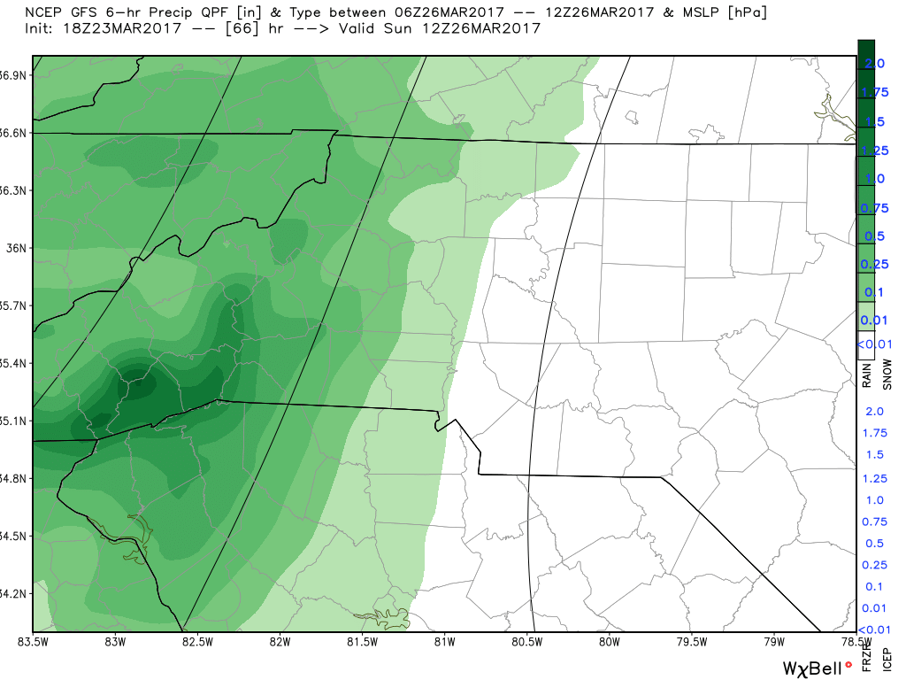
The GFS Model shows the rain moving into the county sometime just after 7am Sunday morning. This model has been pretty consistent with this timing over the past 24 hours.
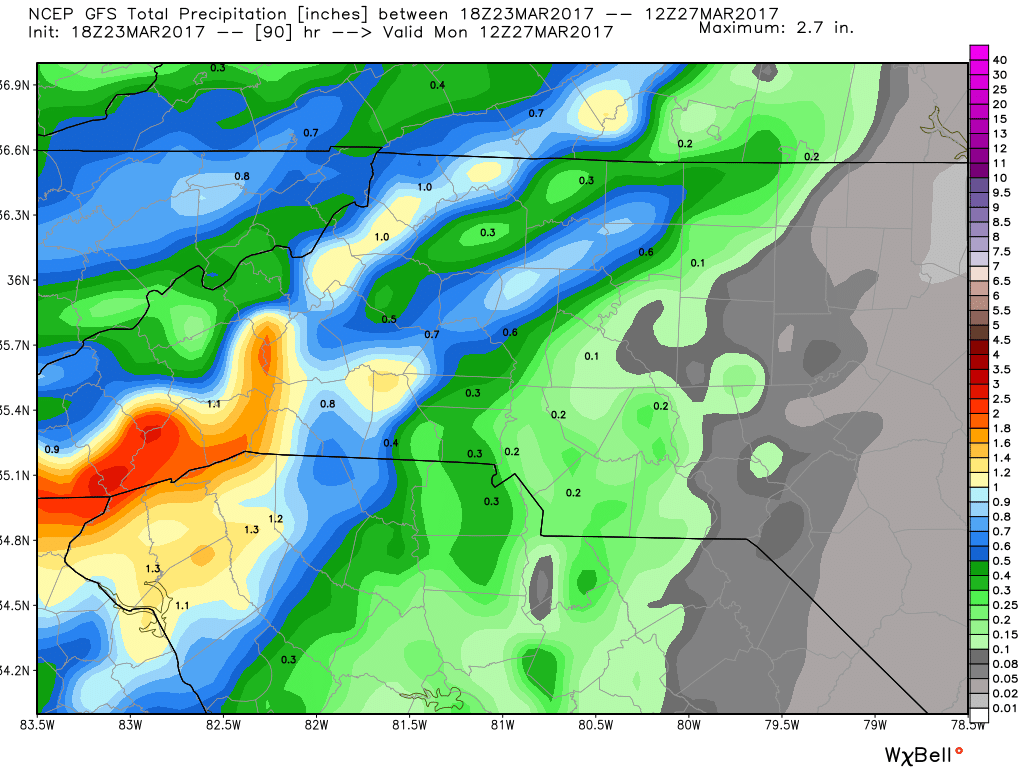
The GFS shows accumulation levels pretty light with these storms as they may be a bit more bark than bite. Could be more thunder and lightning and not so much in terms of the moisture department. Only a tenth of an inch expected from the GFS at this point.
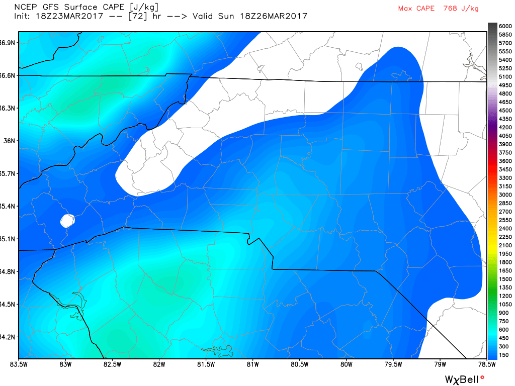
CAPE levels over the past 24 hours has declined in the models which is certainly a good sign for the reduction of severe weather with these storms on Sunday.
The European
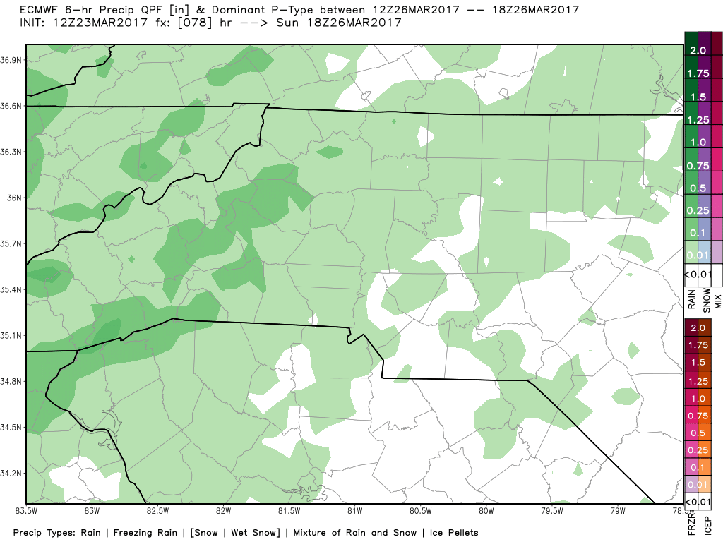
The European Model shows the arrival of the rain moving into the county just before 1pm Sunday afternoon. This is of course several hours after the GFS Model is predicting the arrival of the storms.
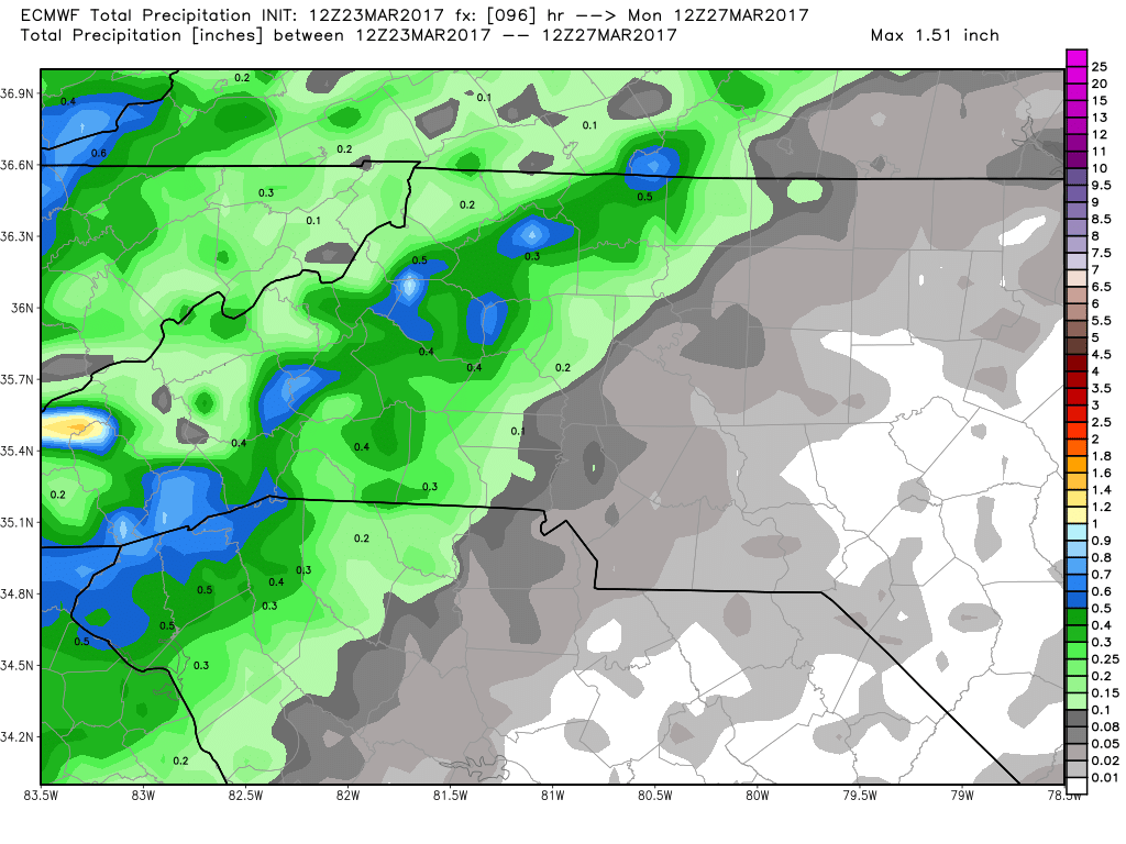
Much like the GFS the European Model is also indicating very light amounts of precipitation in this case less than a tenth of an inch. These storms at this point look to be a bunch of noise with very little moisture and they may very well be zipping through the area.
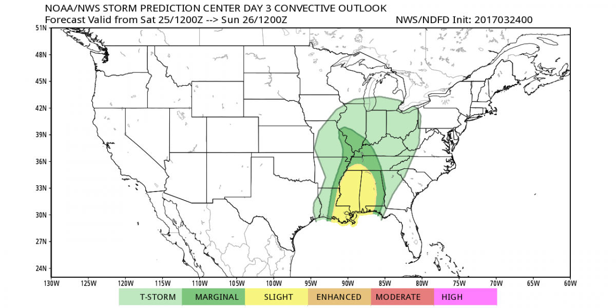
The SPC as of right now has no concerns for Severe Weather here in the county and area for Sunday. The best chance for Severe Weather at this point for the state is west of 1-26. Based on the model data I am seeing right now I would have to agree that these storms appear to lose a lot of their punch coming through the mountains on Sunday.
I will continue to keep an eye on the models as they come in and provide updates right here and on social media over the next few days.
As always thank you for following Rowan County Weather!