
Rain and Storms possible late Tuesday evening
I mentioned yesterday how I was begriming to track our next system that would bring the potential for rain and thunderstorms to the county late Tuesday evening. I am continuing to track the models and at this point I think our biggest threat would be the possibility of a strong thunderstorm with gusty winds. I am not looking for anything severe at this point. Let's take a look at a few of the models to see what they are predicting and then I will give you my forecast at the end of this blog.
The GFS

The GFS Model is indicating rain will be in the county by around 7pm tomorrow evening. I think the timing on this may be a bit early as the European and some of the Ensemble Models are looking at the rain arriving just a bit later in the evening.
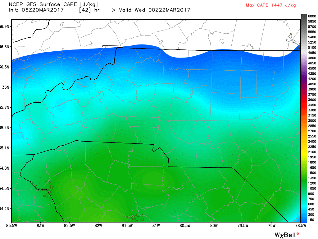
The GFS CAPE (Convective Available Potential Energy) basically a fancy word for Thunderstorm Fuel is a little high for late tomorrow evening but I think that other elements are not in place yet for severe weather at this point. The sunshine during the day tomorrow will be key in those CAPE levels rising.
The European
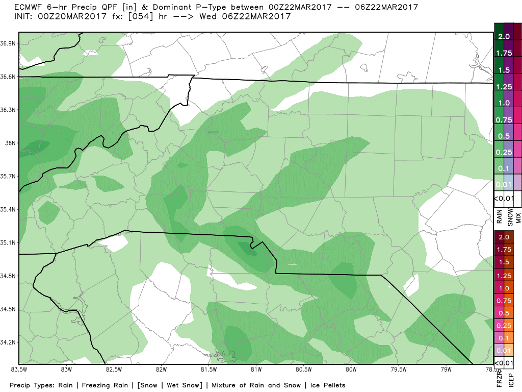
The European Model is showing the rain arriving closer to the 9pm timeframe tomorrow evening with the heaviest of the rain moving through the county around 1am.
Ensemble Models

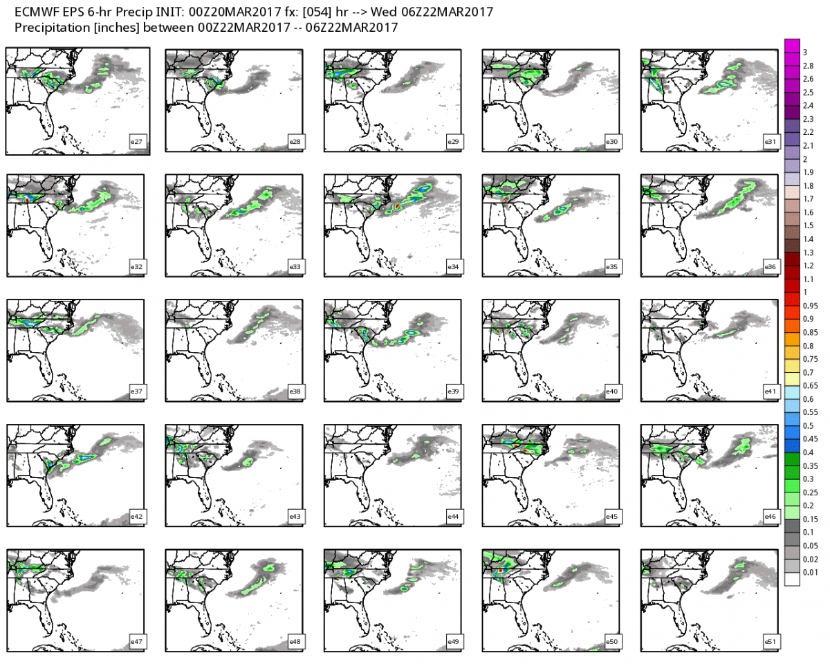
The above images are what all 53 weather models are indicating would be over the county and the area around 1am on Wednesday Morning. There are a few of the models indicating some heavy rain and the potential for strong thunderstorms. I don't think they will be severe as the CAPE Levels will be much lower during this timeframe.
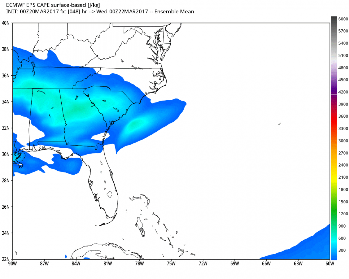
Most of the models show the CAPE staying the highest just to our south as these showers and storms move through the area. I will certainly keep an eye on the models and all of the data that is coming to keep you updated with the latest. As for now here are my thoughts.
- Rain will begin to move into the area and the county shortly after 7pm tomorrow night.
- We could see a strong thunderstorm mix into this later in the evening. The setup will be key based on the track. For now I think the strong thunderstorms stay to our south. This still bears watching.
- Accumulations of around a quarter to a half of an inch are possible.
I will keep you updated right here and on social media as we get closer to the rains approaching. Enjoy your Monday everyone! As always thank you for following Rowan County Weather!