
A quick Saturday Morning Update on the winter weather expected in the area tonight
From the outset of the talk about snow this weekend I have stayed true to my forecast of a cold rain event with some wet snow mixing in. The models have continued to indicate that and as of this morning the short range models that are now looking at the storm are pointing to the same conclusion. Most of the actual snowfall will stay to our west in the mountains and foothills. Here in Rowan County we will see a cold rain event with the possibility of periods of wet snow mixing in.
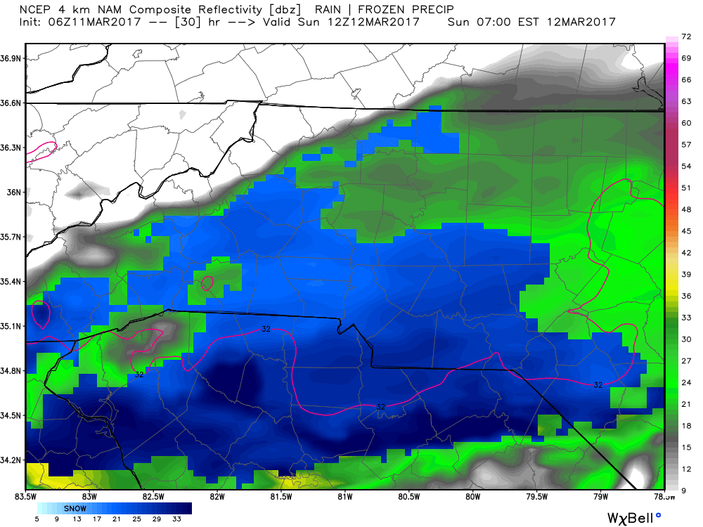
The NAM image from above is showing a mix of wet snow and rain for early Sunday Morning. The snow will most likely evaporate or melt on its way down. Roadways should not be an issue. The snow if it does stick will only stick to elevated surfaces such as cars and porches. The majority of this event will be a cold rain.
The possibility of accumulation for totals around the county could be a trace to a half of an inch but that again will most likely only occur on elevated surfaces such as cars and porches.
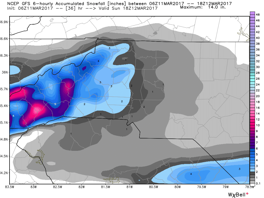
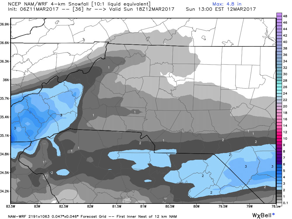
This is what the GFS Model is indicating for accumulation in terms of snowfall as well. Pretty close to what the NAM indicated above.
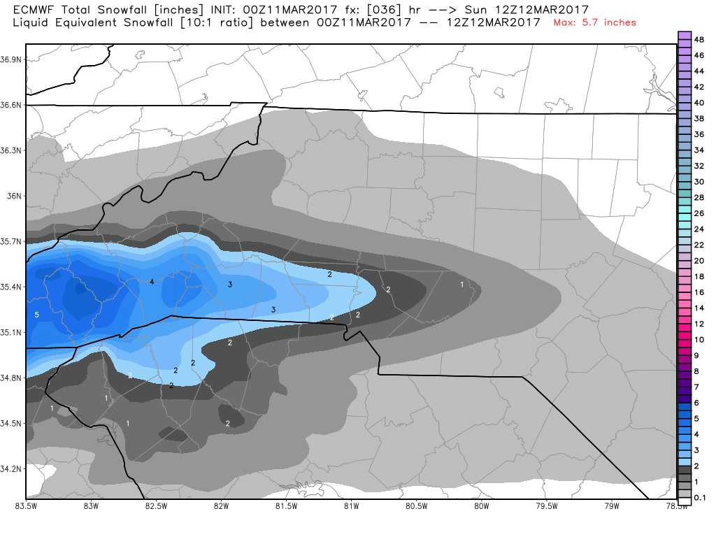
The European Model is indicating as the two other models indicated above that the majority of the snowfall will occur to our west in the mountains and foothills.
What you should expect.
- Rain will move into the county very late this evening.
- We could see rain begin to mix in with wet snow during the overnight hours as we head toward Sunday Morning.
- Accumulations will be almost non-existent for snowfall as this will be very limited amounts on elevated surfaces such as cars and porches.
I will provide more updates throughout the day right here and on social media. As always thank you for following Rowan County Weather!
Please let our local sponsors know that you appreciate their support of our blog. Take a moment to visit their website linked at the top of this post.
Share this:

Announcements & Events
Check back often for important announcements and events that I'll be involved in!