

Tuesday Weather Update
We are having another nice mild spring like day here in the county. The real kicker is. It's not spring. We are still in the winter. Things will start to get a little more active weather wise starting very late tonight and into the day tomorrow. We have a marginal risk of seeing severe weather around the county on Wednesday. Today will kind of set the stage for that.
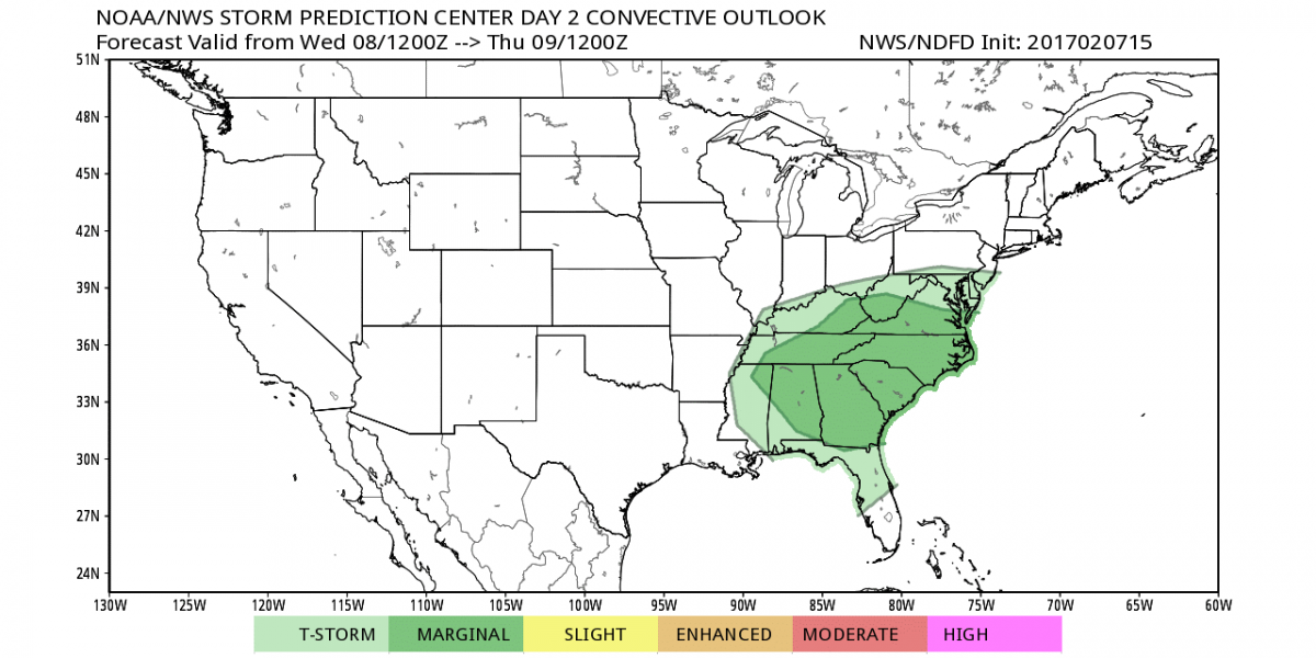
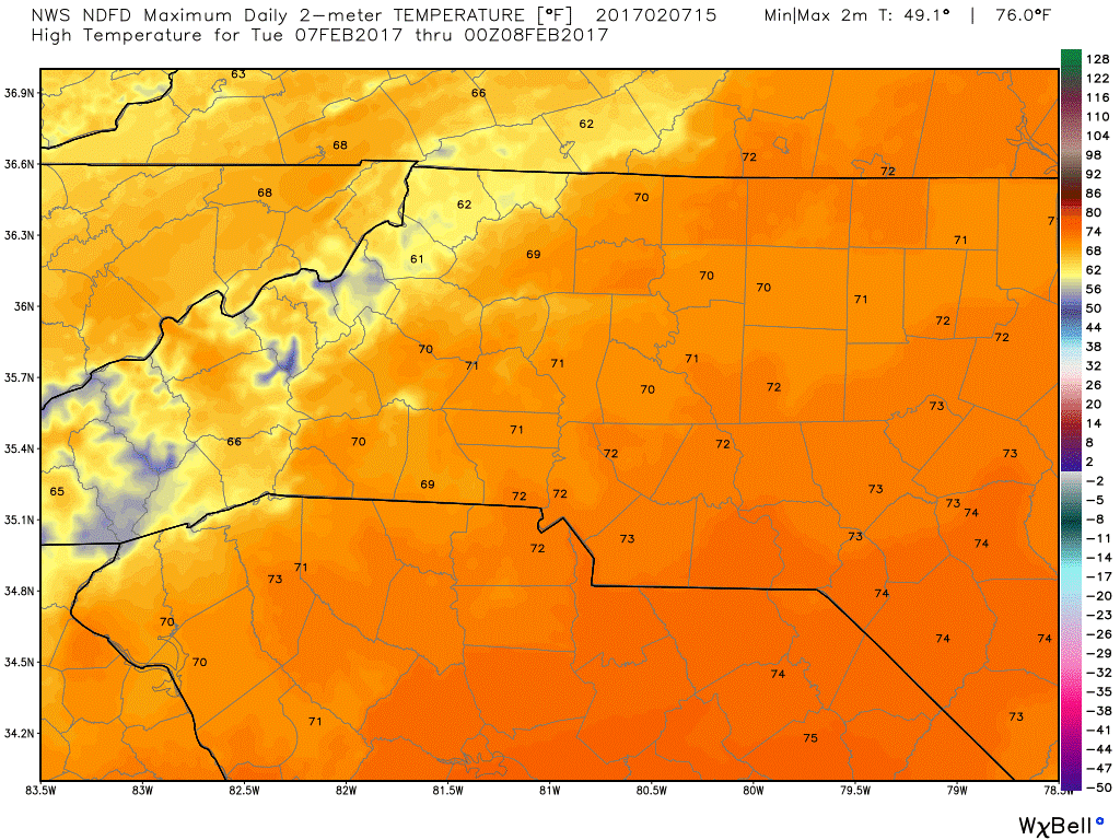
Let me explain how things could get severe tomorrow. Please read through everything before you become to concerned with how severe things may be tomorrow. There is warm air in place today and a old front will start to edge into the region later tonight before moving through the area tomorrow. As the front approaches the warm air and cold air will make for an unstable atmosphere bringing the chance for some strong winds and strong thunderstorms tomorrow. The high today will top out at around 70º
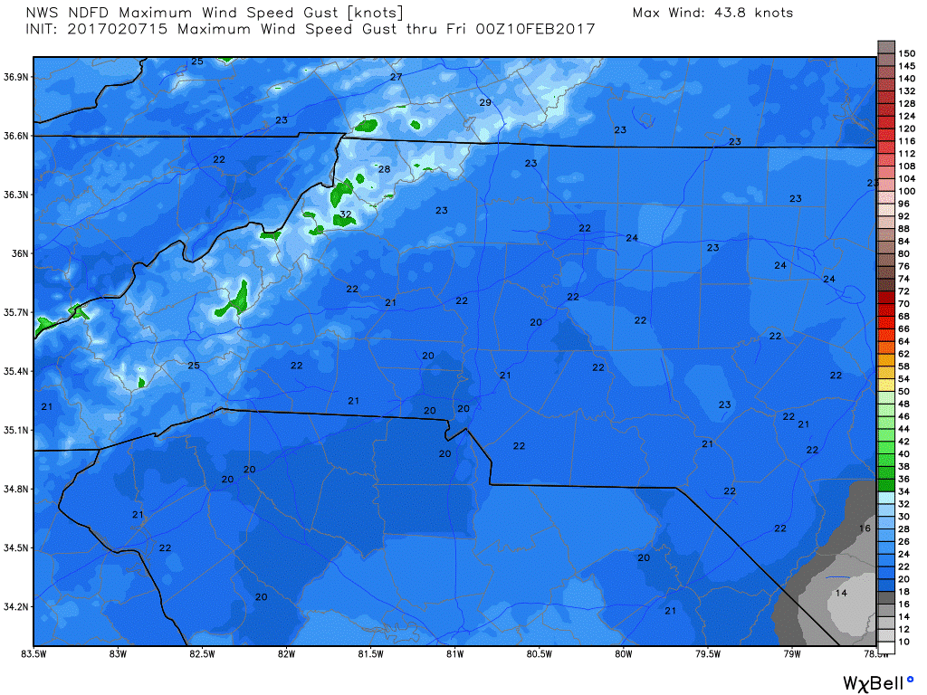
The winds today will be gusty at times as we move later into the evening hours. Gust of around 20 miles per hour are possible.
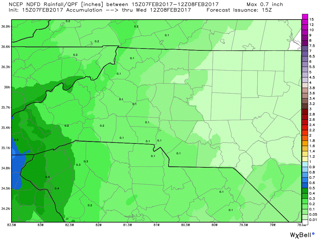
Rain will move into the county very late tonight with some light rain possible starting around 11pm.
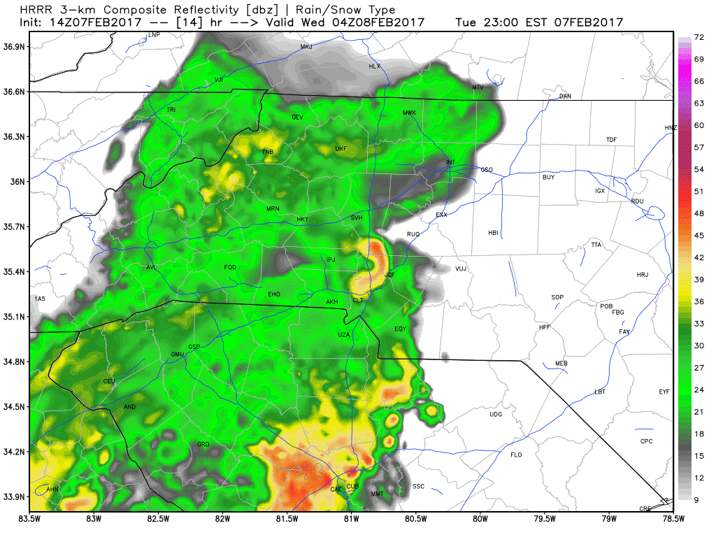
Because the rain will be arriving so late tonight I am not looking for much in the way of accumulation in todays totals. Pretty much a trace is possible.
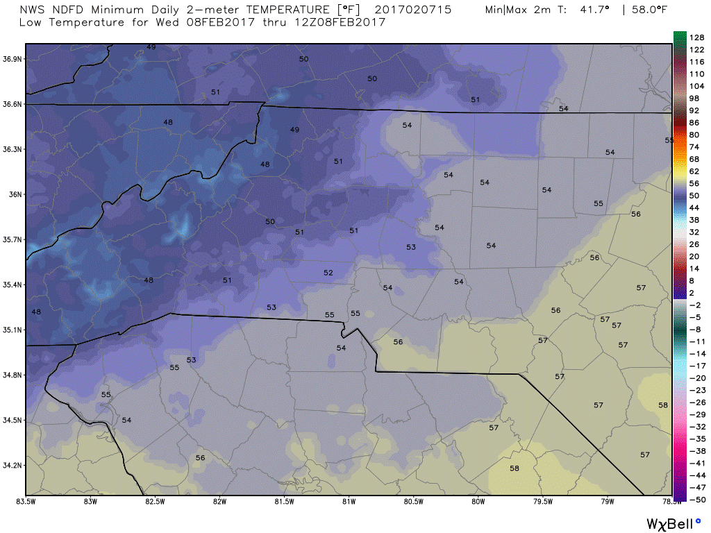
The low tonight will bottom out at around 53º
I will provide updates later this evening as the rain begins t move into the area and closer to the county. As far as tomorrow goes. I am not looking for anything in terms of being extremely severe at this point. I think you should certainly stay weather aware in the event the risk increases. As of right now it just bears watching. The main impacts at this point will be heavy downpours at times and strong gusty winds at times. I am not really seeing anything to indicate hail or anything that would lead to possible tornado activity around the county. Enjoy your Tuesday everyone! As always thank you for following Rowan County Weather!