
Early Friday Winter Weather Update
We are less than 24 hours out for this winter storm and the models are continuing to show a trend our way with the heavy snow band. Enough so that I am making changes to the accumulations and the snow meter yet again.
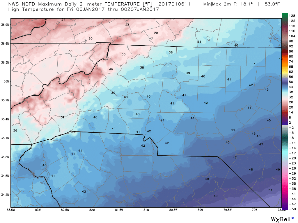
The high today will top out around 41º
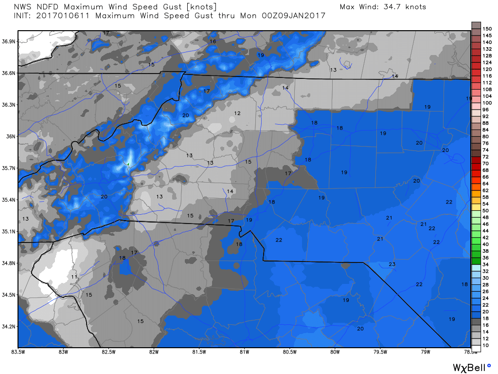
Winds could be gusty at times to around 17 miles per hour.
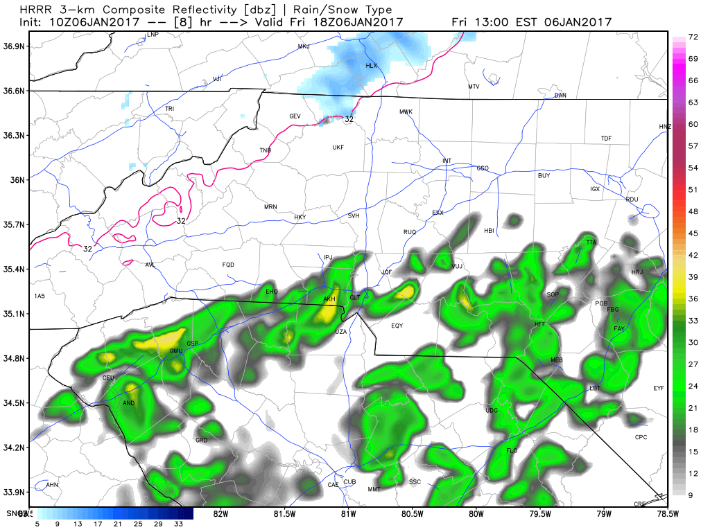
We could see some isolated rain showers start to make their way into the county between 1 & 2 pm this afternoon. I think this will stay rain for a fair amount of time today and maybe even late into the evening before a transition of a mix to all snow very late tonight.
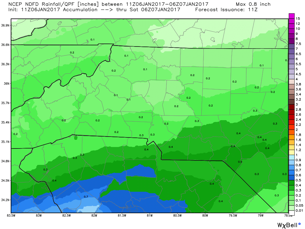
I am looking for rainfall accumulation only at this point today. Rainfall accumulations of around a tenth to a quarter of an inch are possible.
The low tonight is going to bottom out right around freezing. So as we get closer to the late evening and overnight hours is when I expect we will start to see the transition from rain to all snow. We could see some sleet mix in for a brief period of time during the transition.
Forecast
90% Chance of rain transitioning into a wintry mix very late in the evening hours. Little to no snowfall accumulations for late tonight.
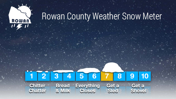
As we move into Saturday 70% chance of snow. I am going to up my accumulation totals for 3 to 5 inches around the county.
Snow meter now updated to a 7!
I will continue to provide updates all day and throughout this entire event right here on Rowan County Weather and on my Rowan County Weather social media outlets. As always thank you for following Rowan County Weather!