
Recap of yesterdays storms
I had a lot of inquiries yesterday after the strong storms moved through the county and most all of them were the same question. "Did we just have a tornado?" Now honestly it's a great question and I can certainly see how you might suspect that a tornado may have touched down. What we actually experienced were straight line winds. and possibly a weak down burst. The damage from both tornadoes and straight line winds is extremely similar as you can see from the graphic below.
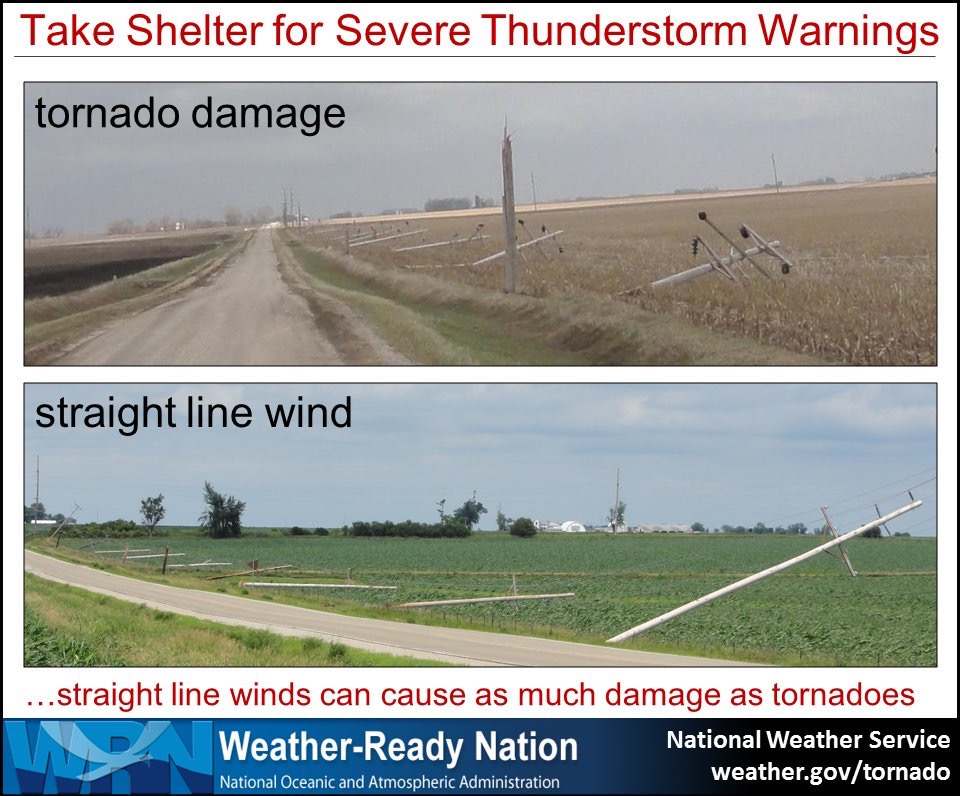
As you can see it's not much different in terms of outcomes from the damage. Below are some photographs sent to me from great followers on social media. I always appreciate getting photos and welcome you sending them. Please safely get these pictures though. There is never a photo or video worth putting yourself in danger over.
Most all of this damage was in the Salisbury area.
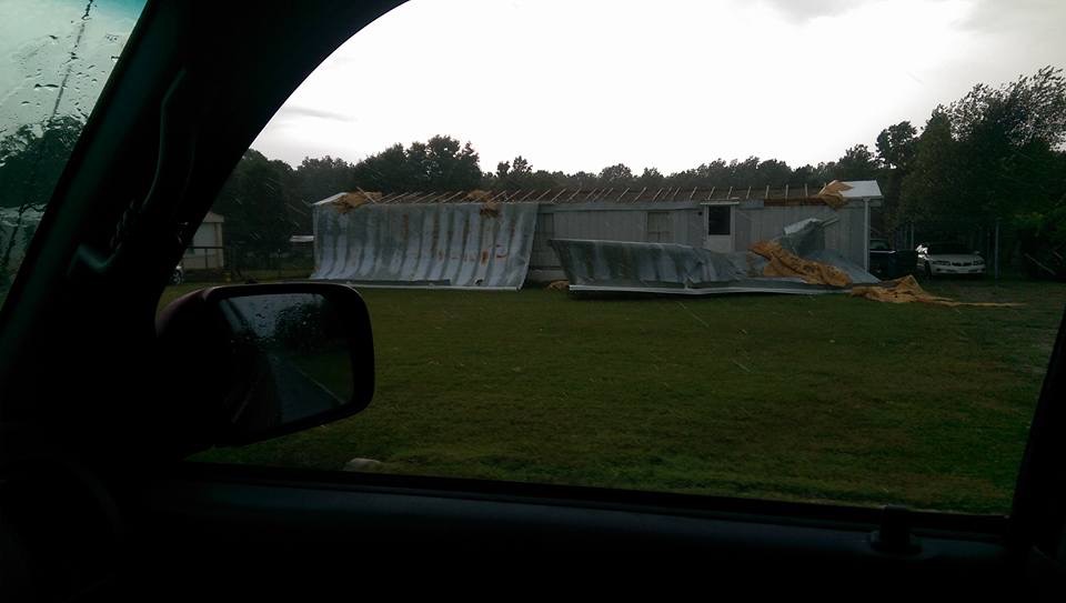
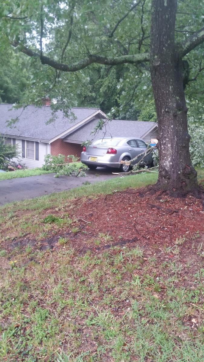
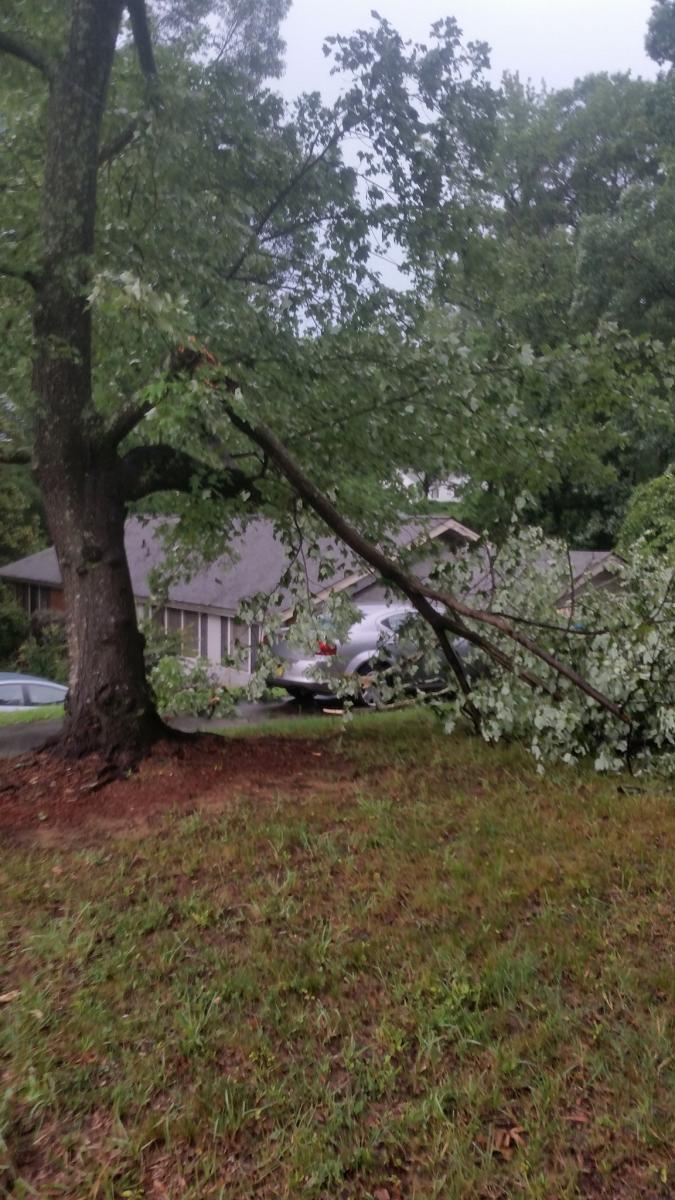
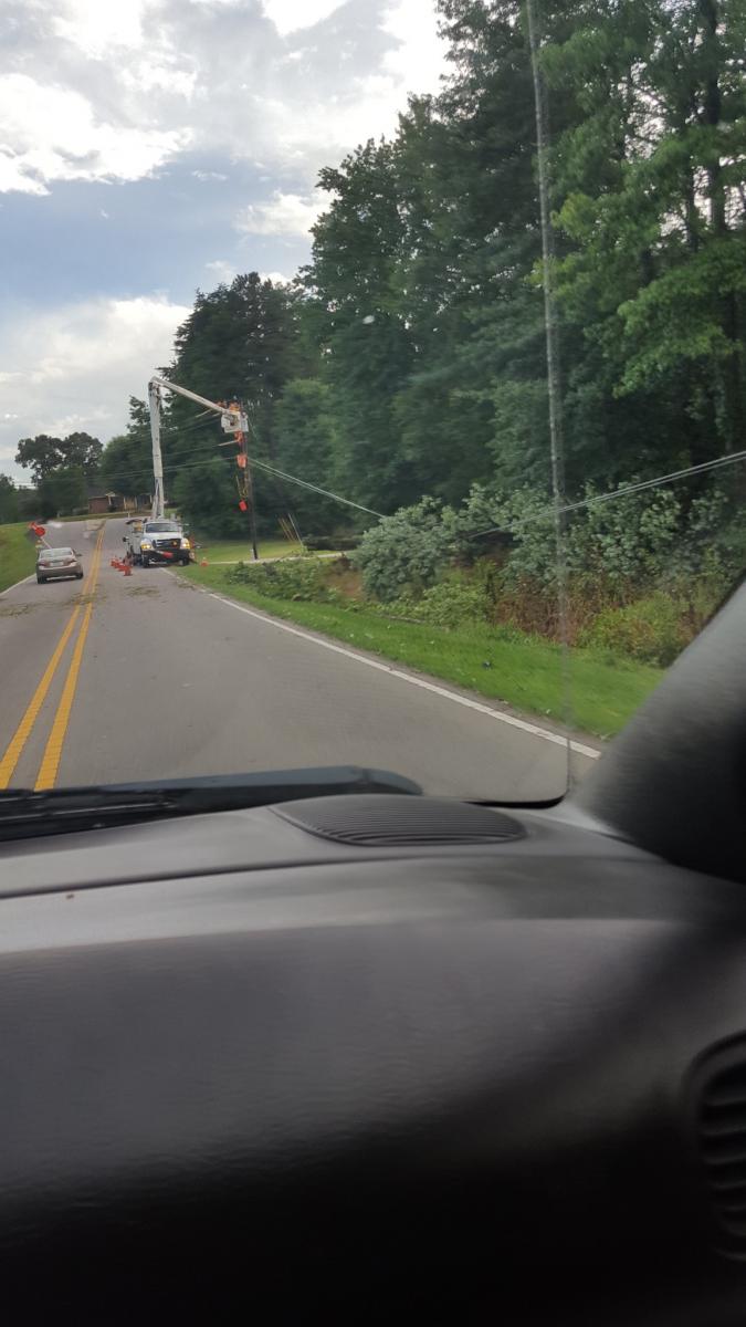
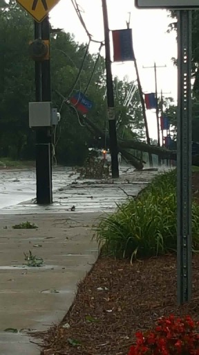
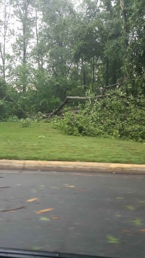
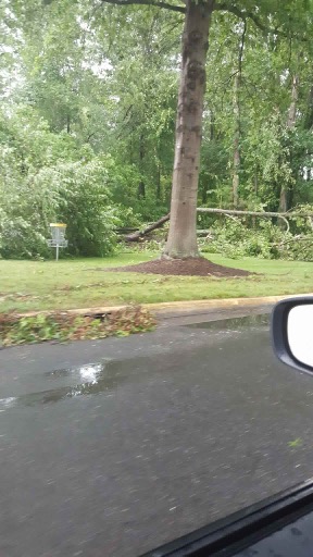
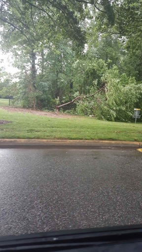
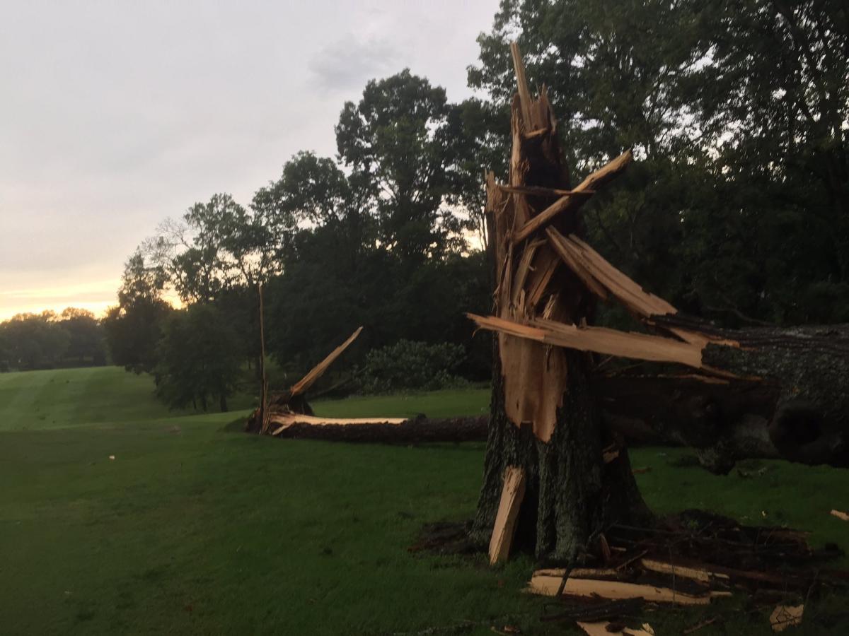
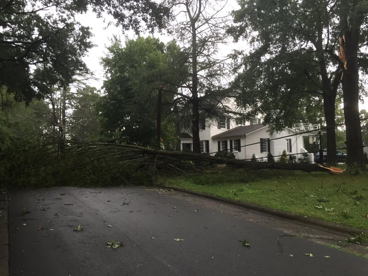
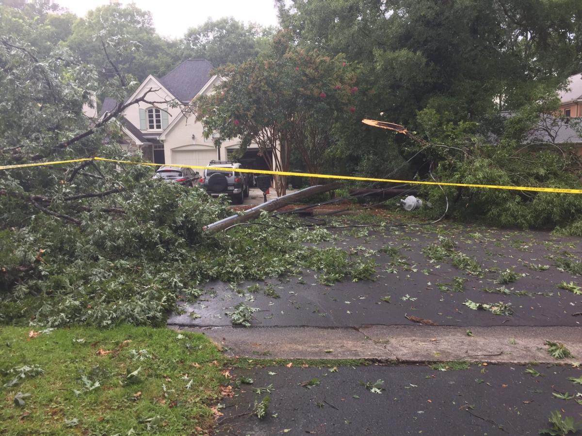
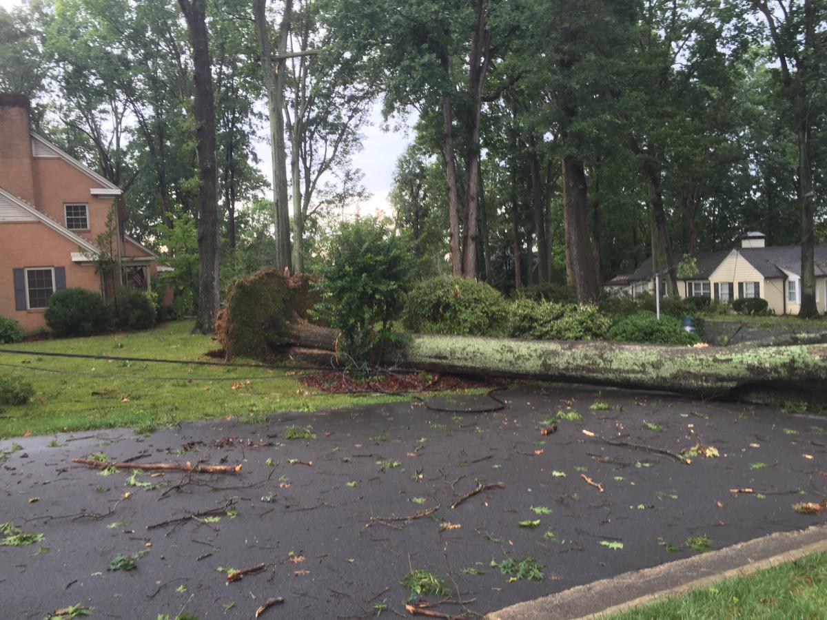
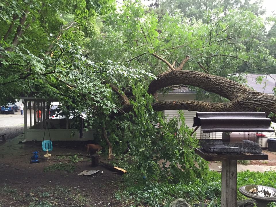
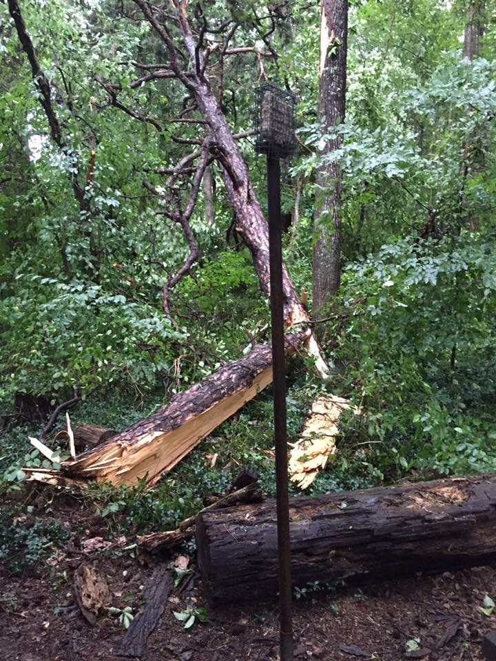
As you can see form the photo's above. Quite a bit of damage was done in some areas of the county. Again mainly in Salisbury. It will take a few days to get estimates back from the weather service if they come out to do a damage assessment. As of right now I would suspect these winds were probably around 55-60 miles per hour. A severe thunderstorm warning is issued by the weather service if winds exceed 58 miles per hour or if hail is detected. There were no reports of hail in the county yesterday and I think again based on initial assessments the winds were probably just under the threshold for most of the time. I can see how a warning was not issued.
I will post an update later today on what to expect from the weather today in and around the county. As always thank you for following Rowan County Weather!