
Wednesday Weather Update and a look ahead to the weekend
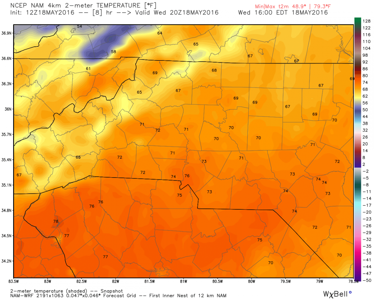
The morning hours of this Wednesday have shown us some cloudy skies. We will see rainfall move in later tonight from the southwest. Rainfall will be pretty isolated and mainly west of I-85. Highs today will struggle to reach 70º
Rainfall will begin around 8pm tonight and will be moving from southwest to northeast. I think most of the rain will be confined to the foothills while some areas on the western side of the county see isolated showers.
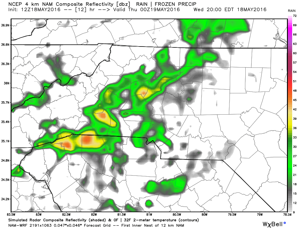
I expect the rainfall to start out as drizzle or very light rain.
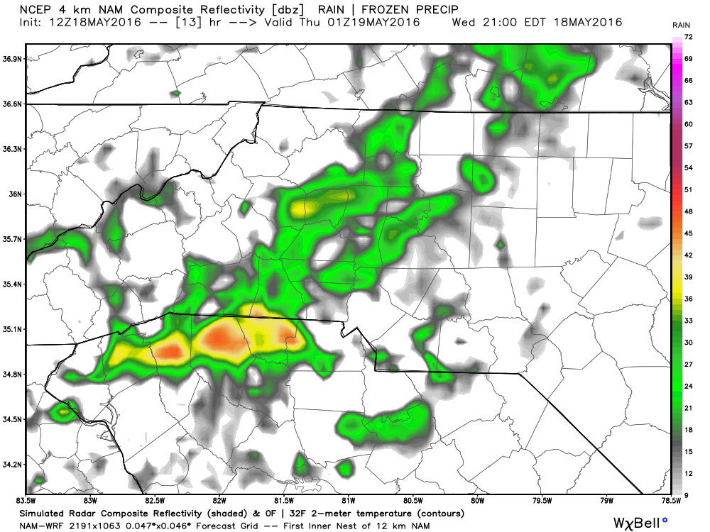
Rainfall will become heavier at times but I am not expecting any major downpours.
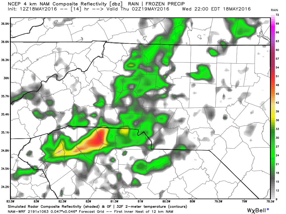
We will begin to see any showers that are out there begin to taper off as we head into the late evening hours.
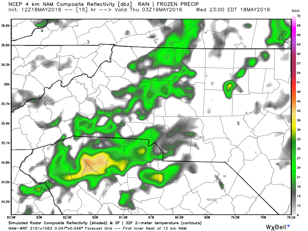
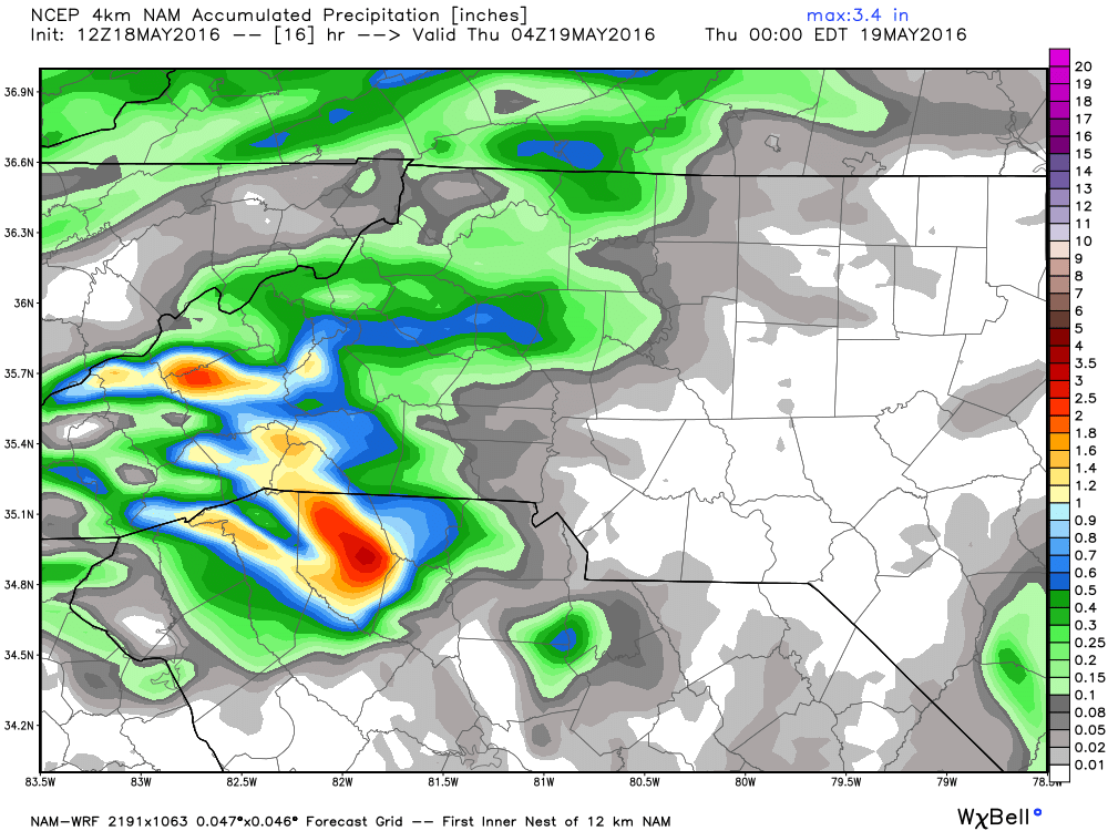
As far as total accumulation for tonight I am looking at anywhere from a tenth to a quarter of an inch being possible.
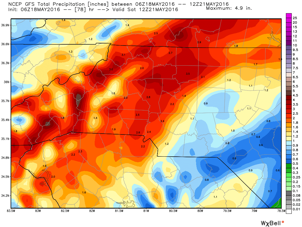
The real question on every ones mind that will be heading out to the races this weekend is will anything be rained out. There is certainly a timing issue that will come into play. as of right now I feel anything going on at the track Friday night will be canceled. Thats the time I think we will some some pockets of very heavy rainfall move into the county and this will most likely continue off an on into the morning hours of Saturday. We are looking at some readings from the long rang models of over 2 inches of rain being possible from Friday night into Saturday morning.
I will continue to monitor the models as they come in but for now just now we will see some isolated showers tonight and plan ahead for the weekend. As always thank you for following Rowan County Weather!
Please let our local sponsors know that you appreciate their support of our blog. Take a moment to visit their website linked at the top of this post.
Share this:

Announcements & Events
Check back often for important announcements and events that I'll be involved in!