
Thunderstorms Chances for late tonight and early Friday
As we continue to go through the heating of the day today thunderstorm chances are going to increase. These storms will be isolated but the chances of us seeing rain in the county today are better than our chances yesterday. I am looking for those chances to ramp up in the early evening hours and stay pretty decent into the overnight hours.
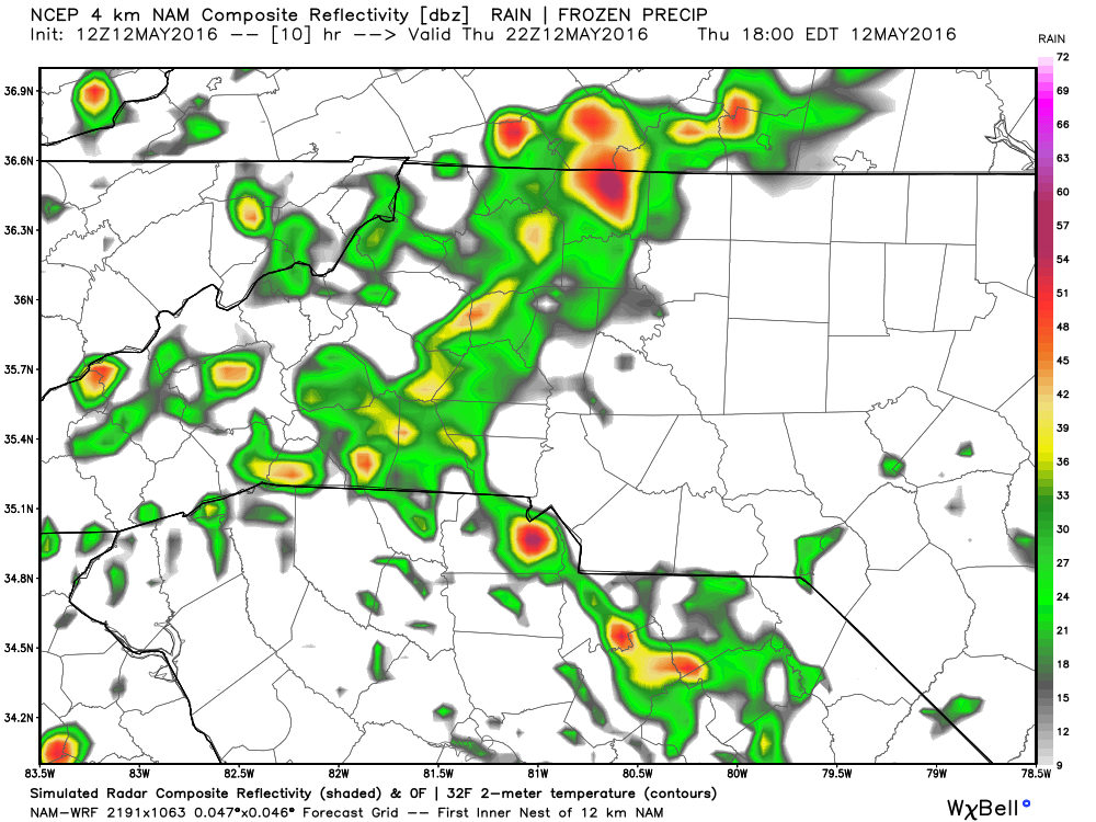
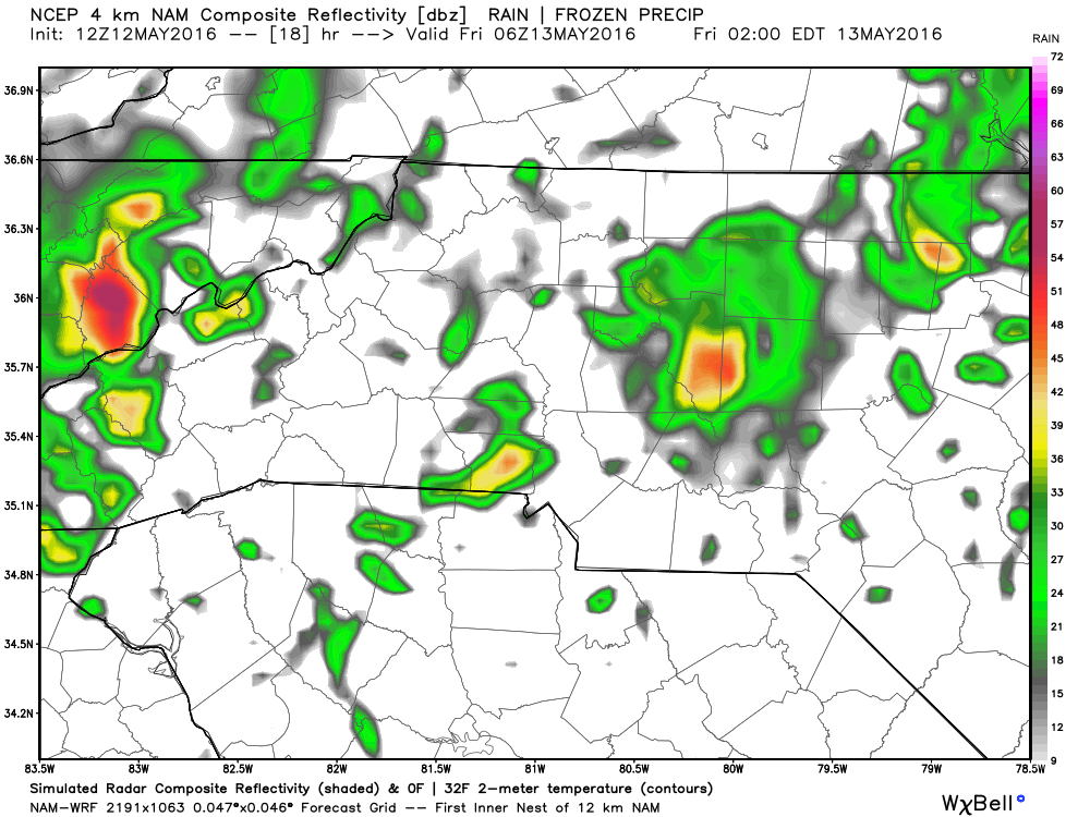
Look for isolated storm and shower chances to begin to close in on the county around 6 pm tonight.
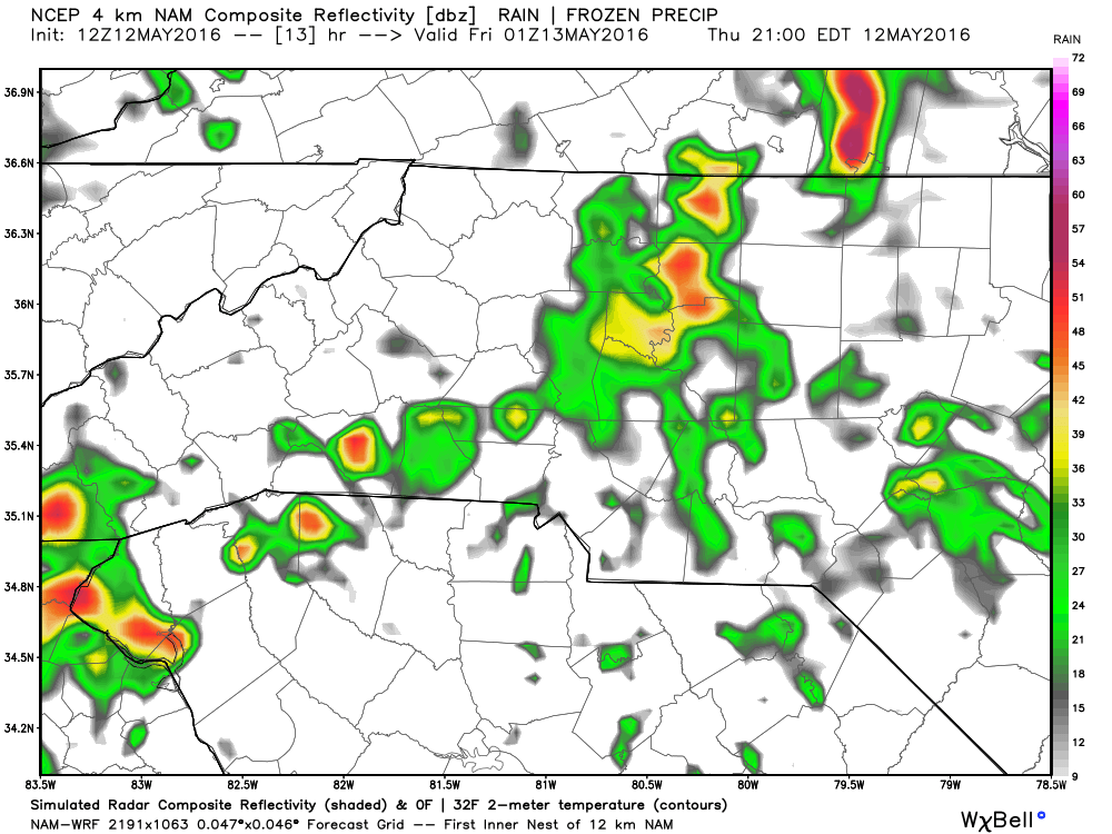
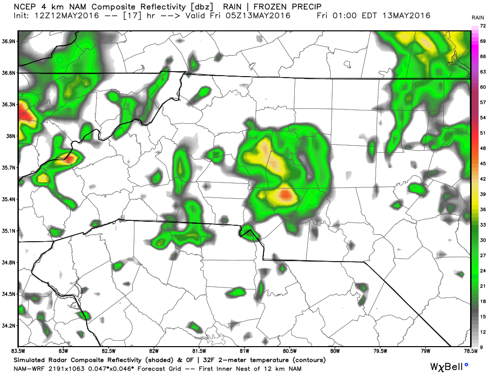
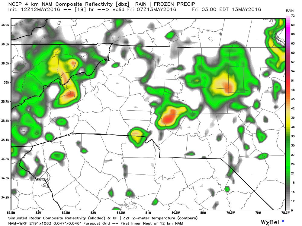
I expect as we close in on sunrise some of the storms will become strong to severe in nature.
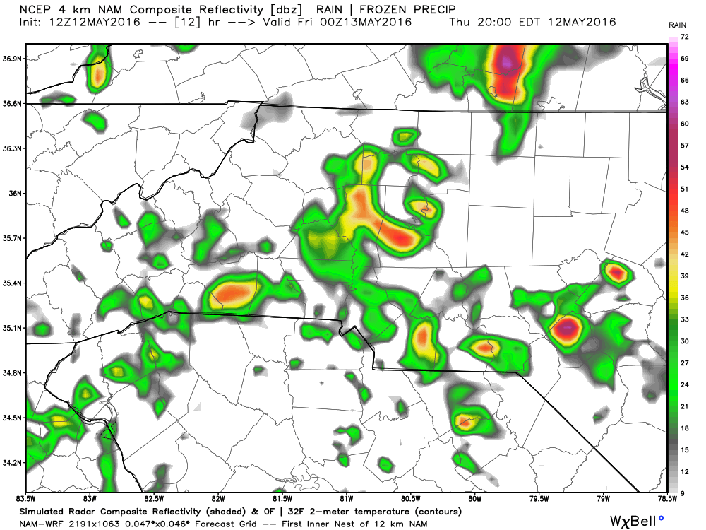
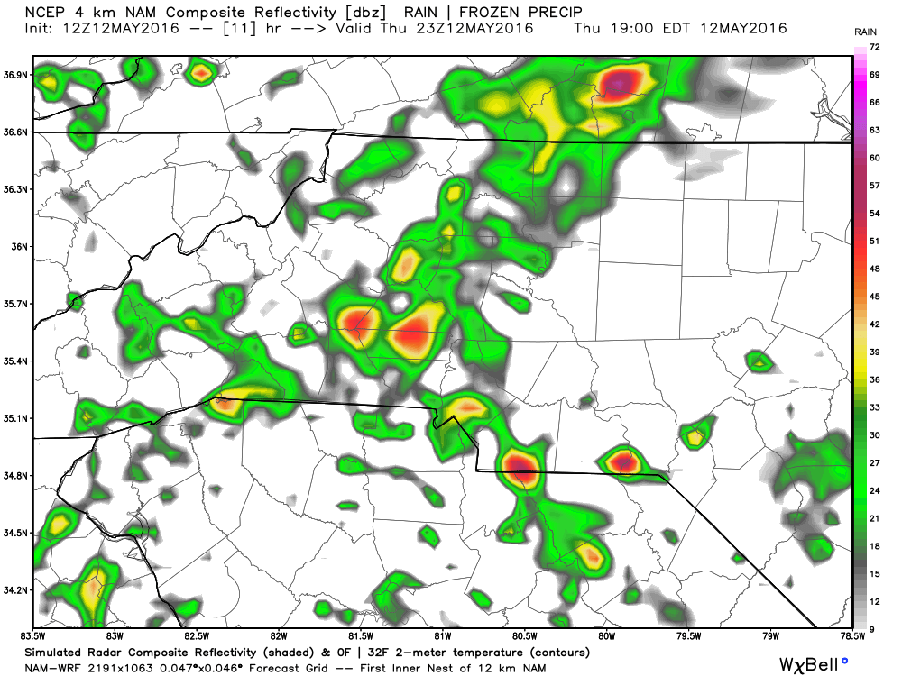
As we start to get into the late evening hours I feel will we will weakening beginning to occur but scattered showers will continue into the overnight hours.
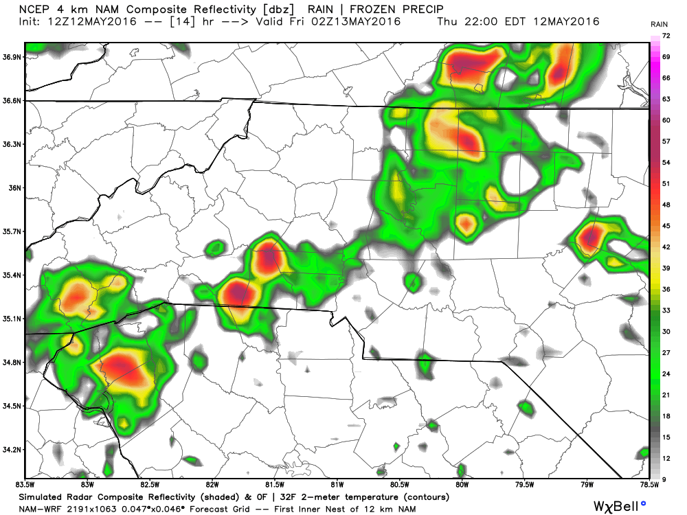
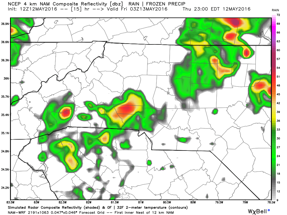
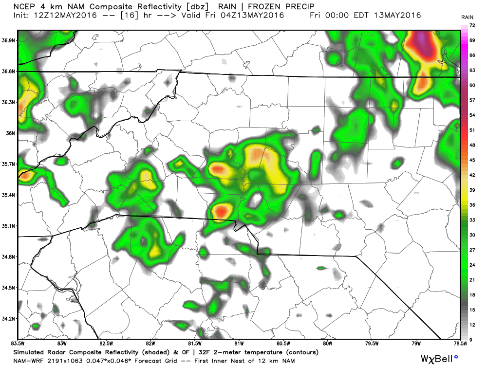
Thunderstorms will still be possible but most likely just run of the mill storms in the overnight.
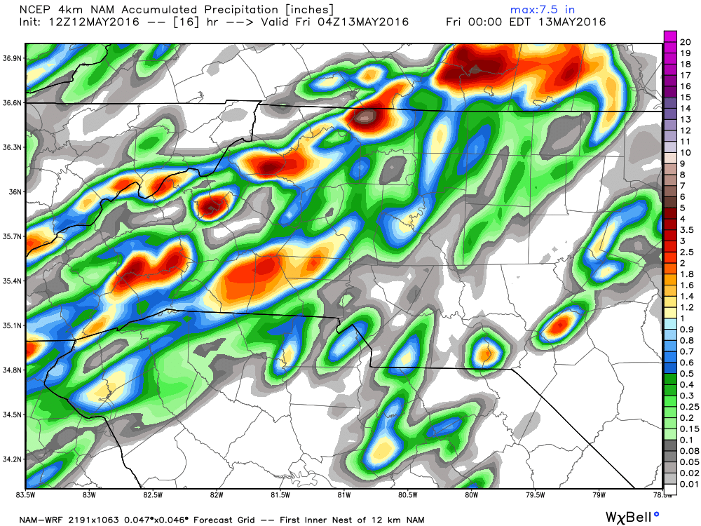
In terms of accumulation chances by the end of today. I am looking at a range of a tenth to a quarter of an inch with some concerns for small hail to be possible in a few of these scattered storms that could move through the county.
Looking for highs today in the upper 80's so please stay hydrated if you are working outside.
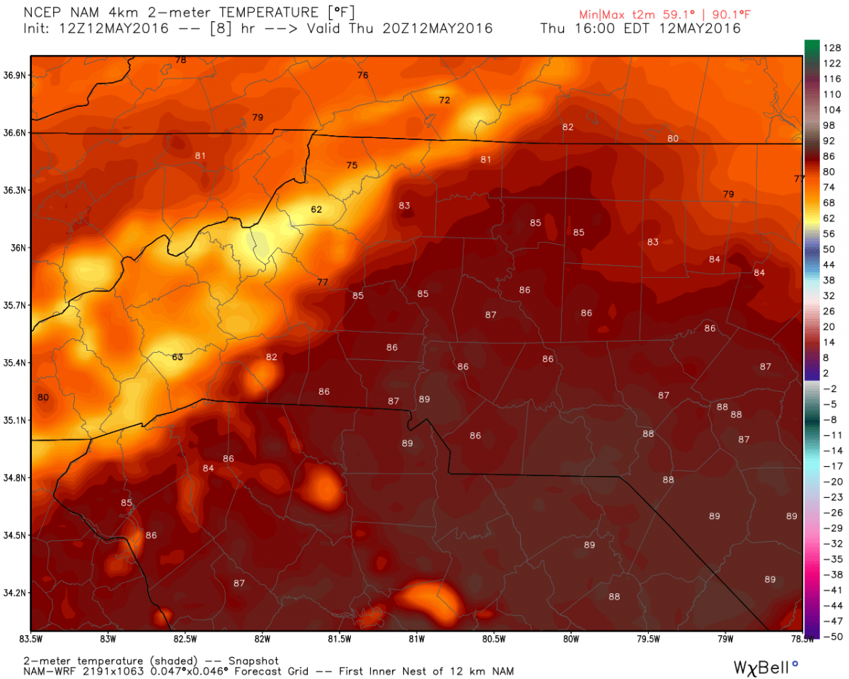
And please remember do not leave children or pets in the car unattended without the engine running and the air conditioner on. It only takes minutes for the internal temperature of your vehicle to exceed 100º

I will post more updates later as storms start to form and move into the county. As always thank you for following Rowan County Weather!