

Thursday Midday Weather Update
This Thursday has had a mixed bag of sun and clouds with a few early morning rain showers. Let's take a look at how the rest of it will shape up.
As far as the high goes. It's going to be a cold Thursday in terms of May. I am looking at us only making it to the upper 50's to low 60's around the county.
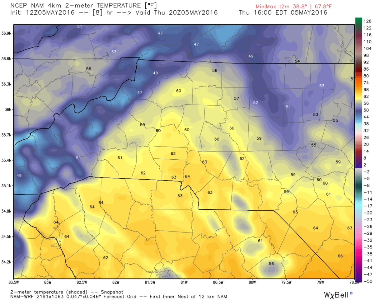
The record Max High for May 5th in the county. (Max High is the lowest High Temperature ever recorded is 56º I think we will keep that record in tact but it will be interesting to see how close we get.
Rain Chances
As we head into the late afternoon early evening hours chances increase for some isolated showers.
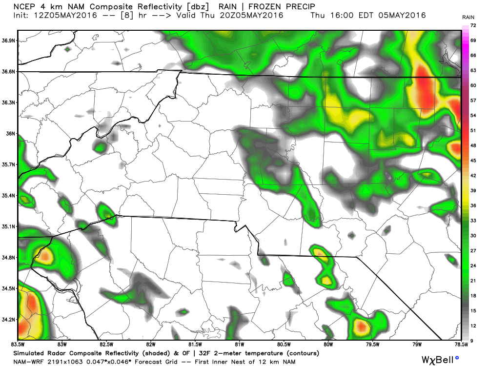
keep in mind these are models and they can't predict exactly where in the county rain may fall. They just give us an idea on if and when rain could fall in the county.
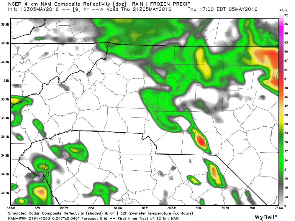
I would venture to guess we could see some isolated showers move into the county between 4 & 5 pm this afternoon.
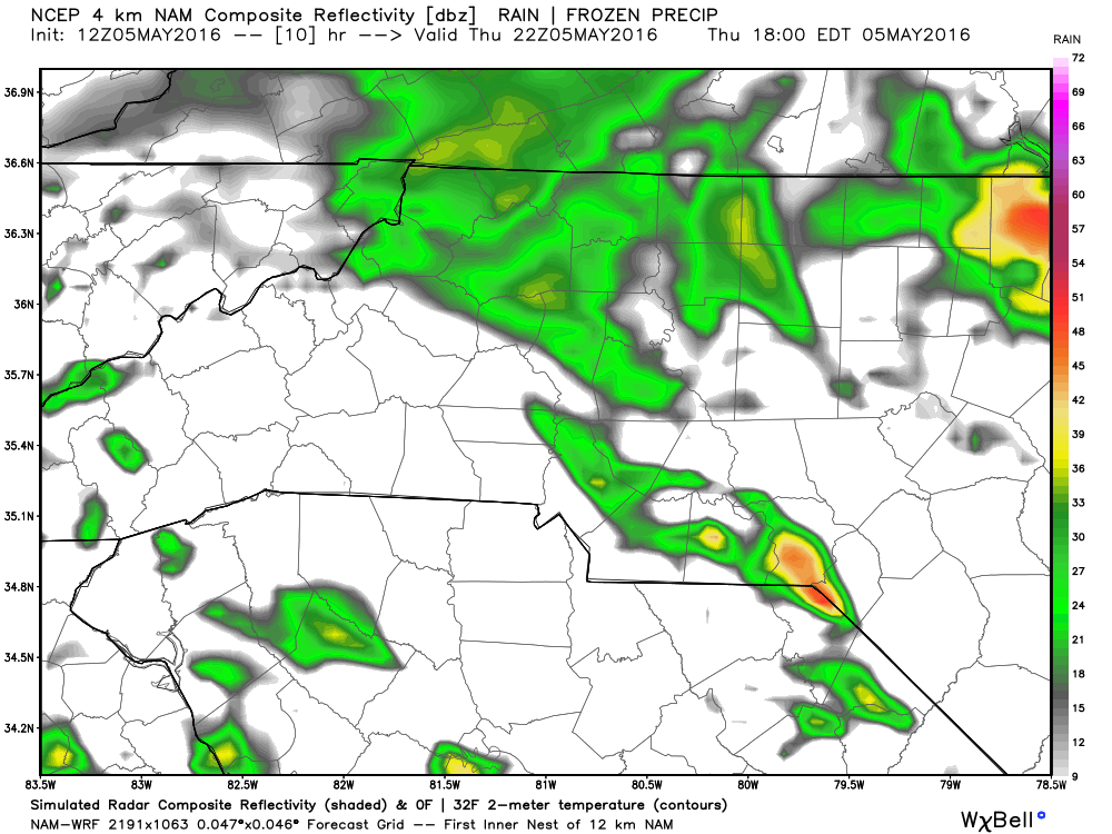
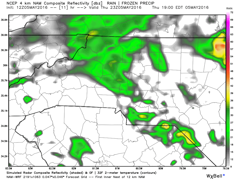
The good news is these will not be thunderstorms so just good old fashioned rain!
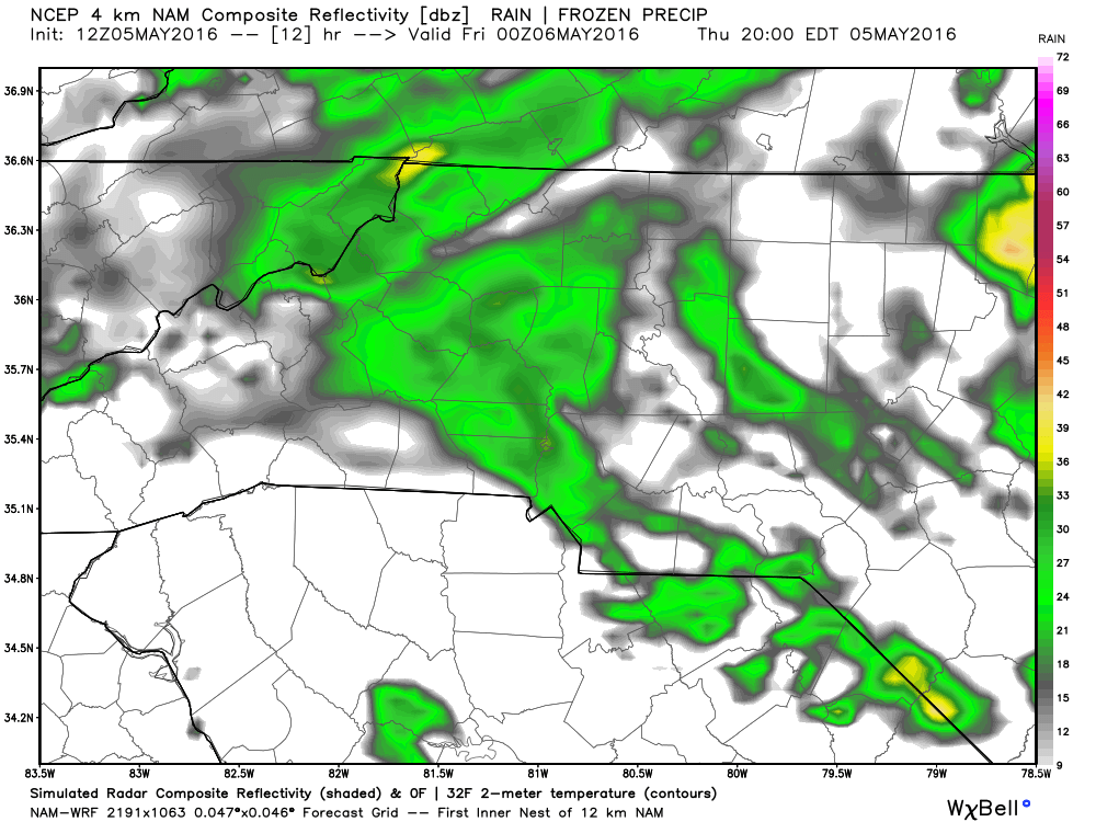
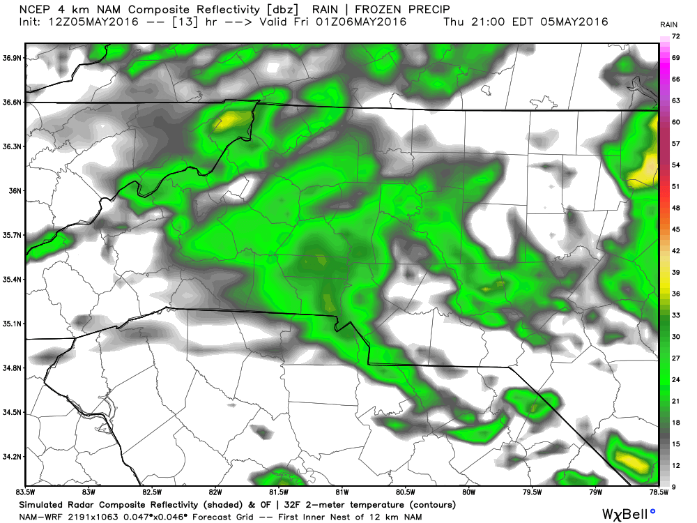
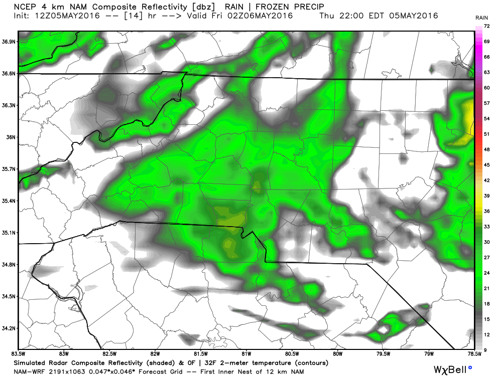
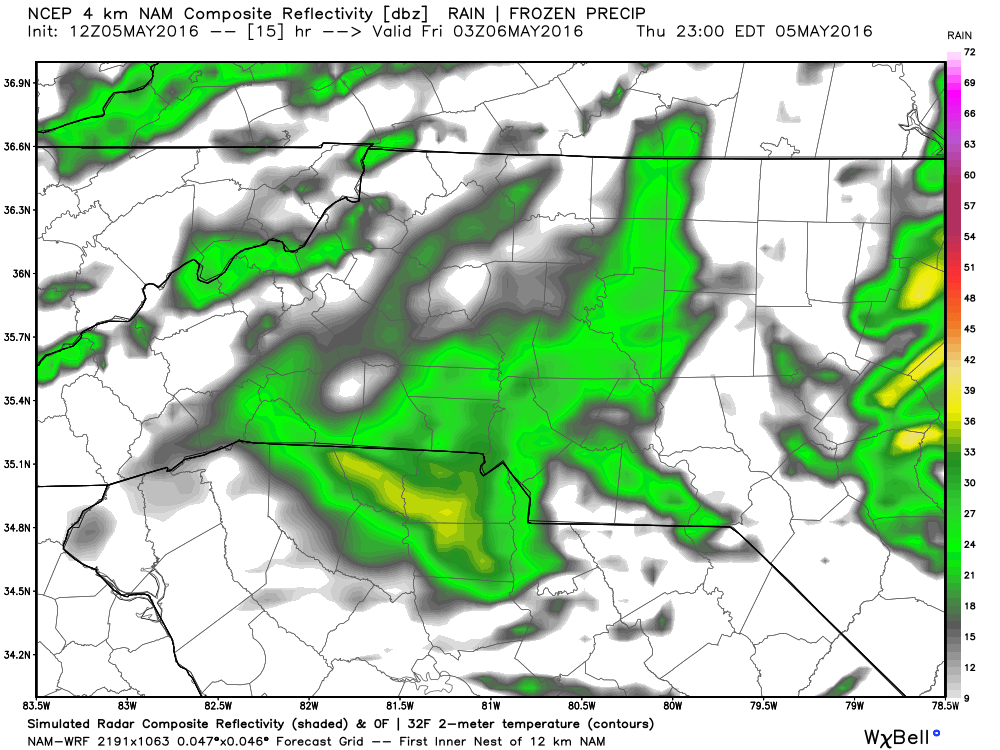
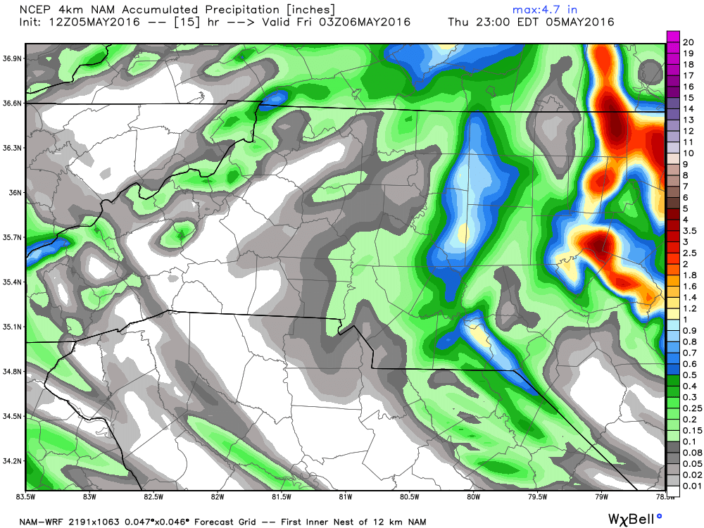
I feel any showers we get will be around off and on throughout the evening. They will be light and very isolated. Not looking for a total washout of anything tonight by any means. Rainfall totals should be between a tenth of an inch to a quarter of an inch.
I will of course update you right here on the website and on social media throughout the day. As always thank you for following Rowan County Weather!