A Visual Look back at last nights storm
Wow what a crazy night with storms rolling through the county last night. I wanted to take a moment this morning to share photo's I took from last night as the storm passed over the weather center. A visual journey if you will.
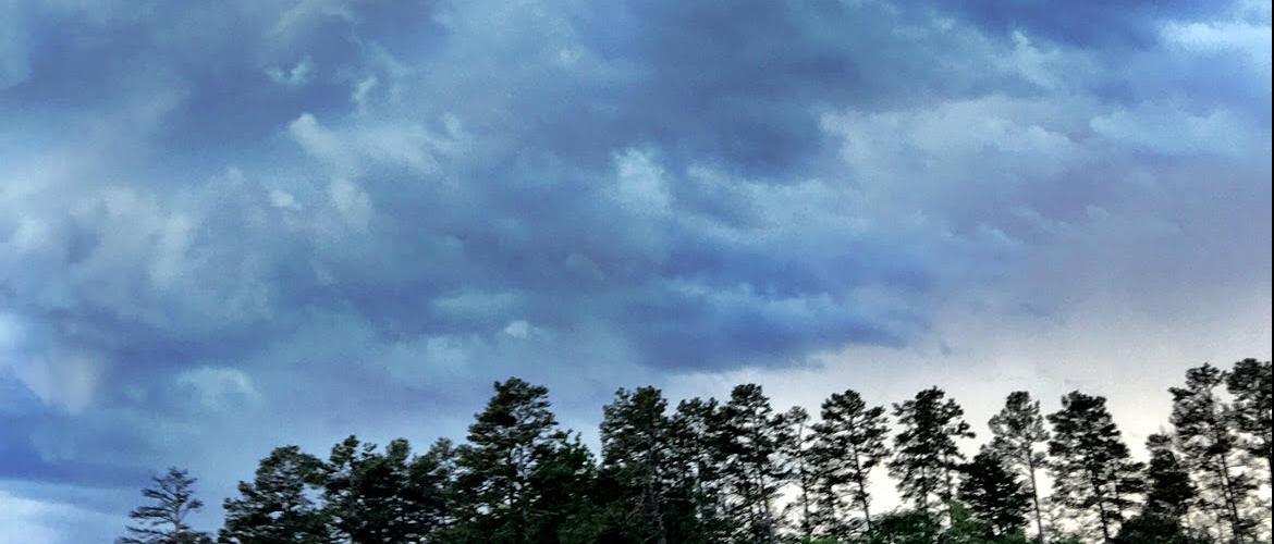
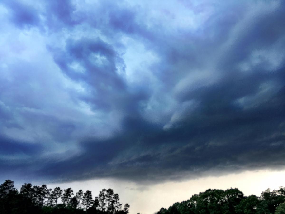
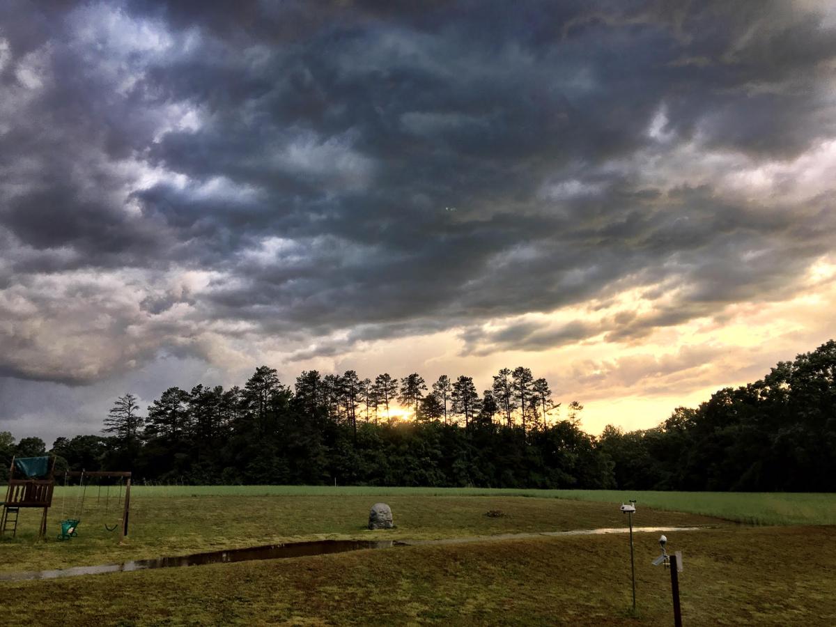
The photo above is as the storm was working it's way east from Iredell County after being a severe warned storm for Iredell and counties west of Iredell. This storm had great structure as it made it's way into the county. This storm was a super cell.
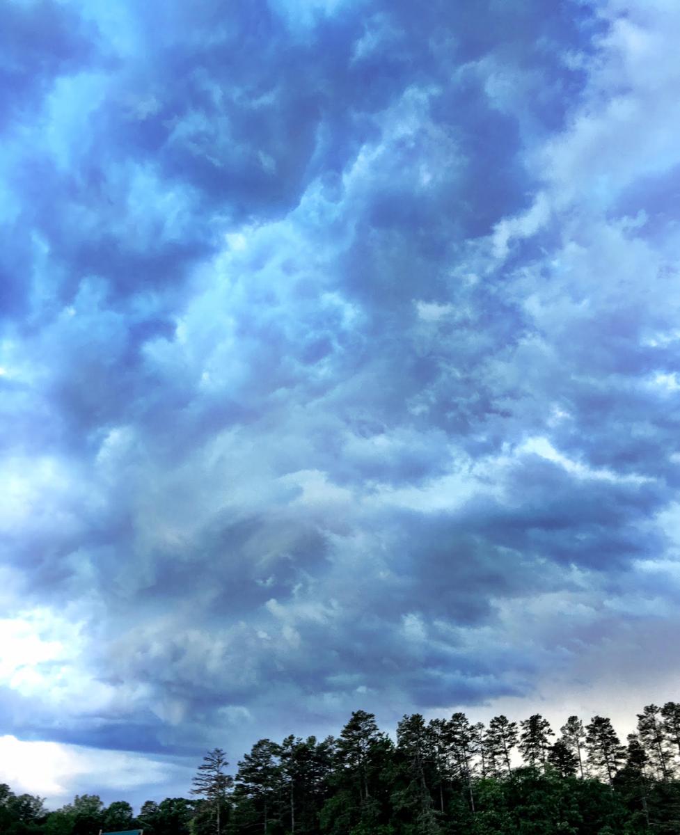
The storm had pretty strong winds pushing it through as it began to cross over the weather center it brought wind gust of 43 mph. and pea sized hail.
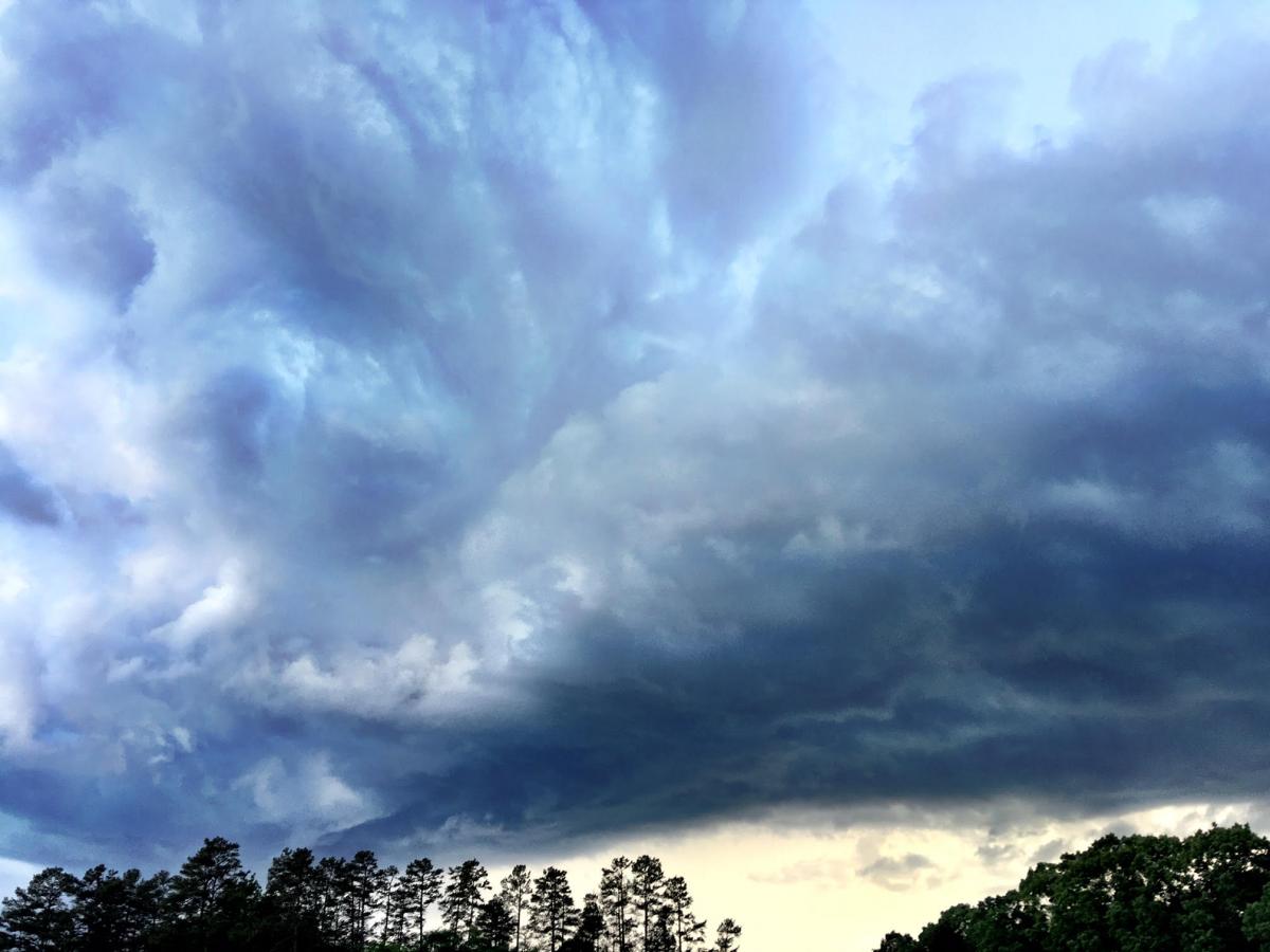
One key feature that began to develop and catch a lot of attention on the front edge of this storm was taking on a nimbus edge that was well defined to the south of the county.
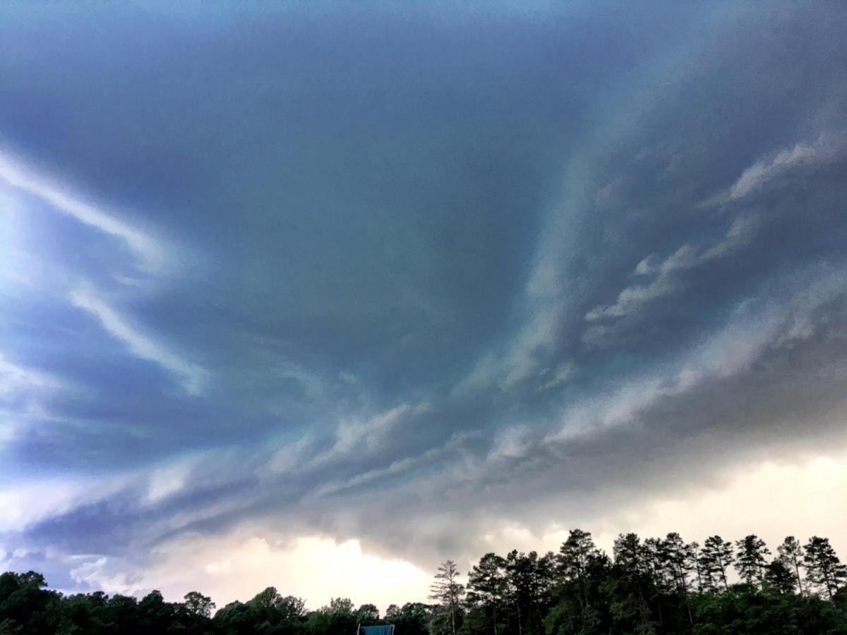
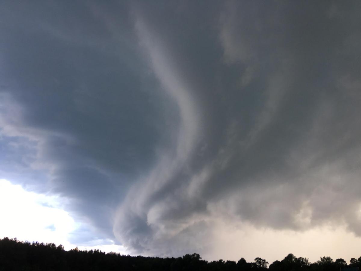
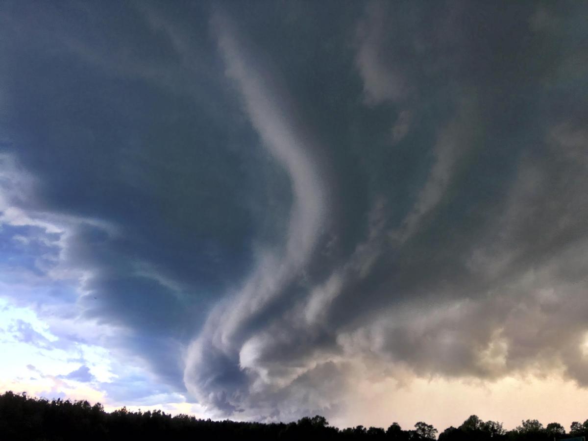
This structure in the storm is the feature that caught the most attention as it moved through the southern areas of the county. I received a lot of photo's from many angles of this feature as it moved through. Thank you to everyone who shared their photo's. I appreciate you doing that as long as you do it safely.
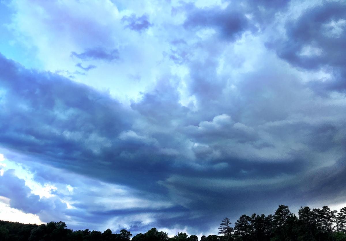
As the storm began to move off to the east the sunset decided it had to get into the mix.
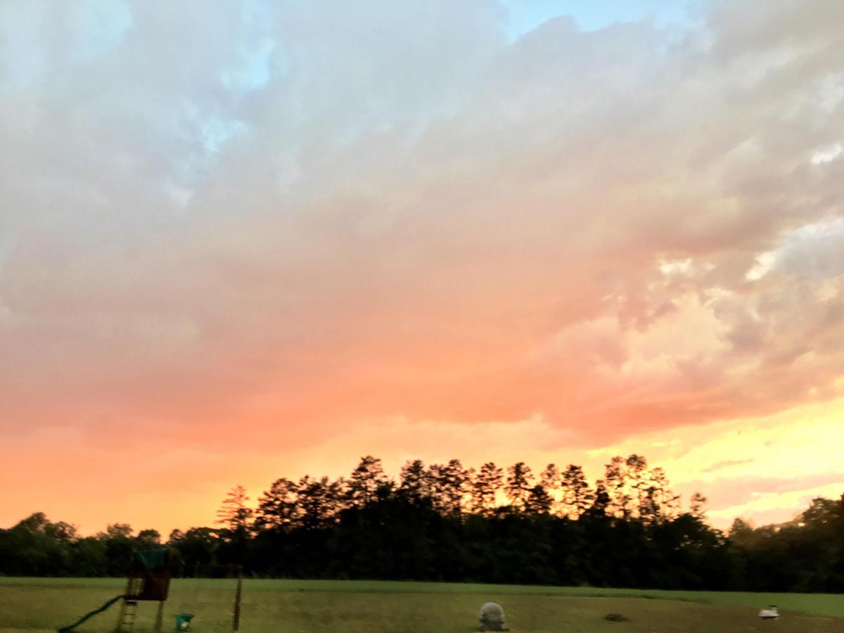
Areas to the north of Rowan County got a spectacular sunset from this storm. We were able to see just a glimpse of it.
The good news is not much in the way of damage was reported around the county and we are in store for a nice dry day today with some cooler air. As always thank you for following Rowan County Weather!