
Thunderstorms possible tonight
I hope you are enjoying your Monday so far. We are in that time of the year where heating during the day sparks up so afternoon and evening thunderstorms. Some of those storms can be on the severe side. I do believe today we will see a chance of severe storms developing and making their way into and across the county later this evening. Let's take a look at how that could unfold.
First of all today's high will be in the low to mid 80's

The dew point will also mix in pretty high making things a little bit sticky outside.

Combine this with instability in the atmosphere and we will see thunderstorms develop again tonight. Now here is my best timeline at this point.

I think between the hours of 7 & 8 pm we will see a small area of showers begin to develop and begin to make their way in from the southwest. Looking at spotty precipitation at first.
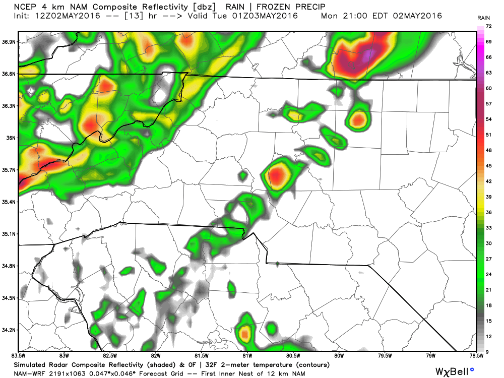
These spotty showers will gain some strength and begin to build into some thunderstorms that will be isolated but will bear some watching as I think updrafts will be strong for the storms.

If these storms build the way I anticipate they will with those strong updrafts we could begin to see a hail core develop and increase the possibility of some hail around the county late tonight.


Isolated storms could redevelop and bring the chance of hail into the overnight hours tonight into Tuesday Morning.

I think in most areas around the county we will see a chance of a quarter to a half of an inch of precipitation. The model above indicates more but these models can't take into account the difference between solid precipitation such as hail and liquid precipitation such as rain.
I will continue to track models and the storm chances throughout the day and keep you update here and on social media.
As always thank you for following Rowan County Weather!