
What to expect when storms arrive Wednesday & Thursday
I know that seeing the severe weather in the Midwest right now can be a bit unnerving. I wanted to take a moment to let you know how this system will affect us by the time it arrives in Rowan County. First and foremost the severe potential here will certainly not be what it is in the Midwest once the system arrives. Let's start by taking a look at the current Storm Predictions Center Outlooks.
Taking a look at Day 1 which of course is for today.

You can see the real risk is exactly where that severe weather is occurring right now.
As you move ahead to the outlook for severe weather tomorrow.

Tomorrow that severe threat does move east with Rowan County being in a marginal risk for severe weather.
Then on Thursday.

We remain in a marginal risk for severe weather. If you paid close attention to the images above you may have noticed the areas that seemed to be experiencing the more severe risk are right along tornado alley. Here is the reason the folks in that area are dealing with the greater risk.
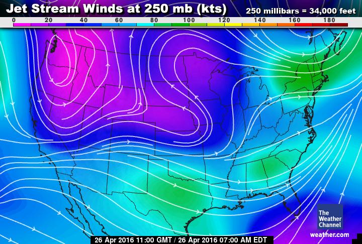
Since I don't have a good jet stream product of my own I am going to use the image above from the Weather Channel. As you can see the jet stream through Thursday is dipping down along the mid section of the country and then hooks up just north of Arkansas. This is creating a lot of instability at ground level in that area and a lot of upper level shear. The perfect ingredients for a tornado outbreak. If you look over North Carolina where we are not much in the way of upper level shear to worry with.
At this point I think Wednesday night we will see very limited isolated shower activity.
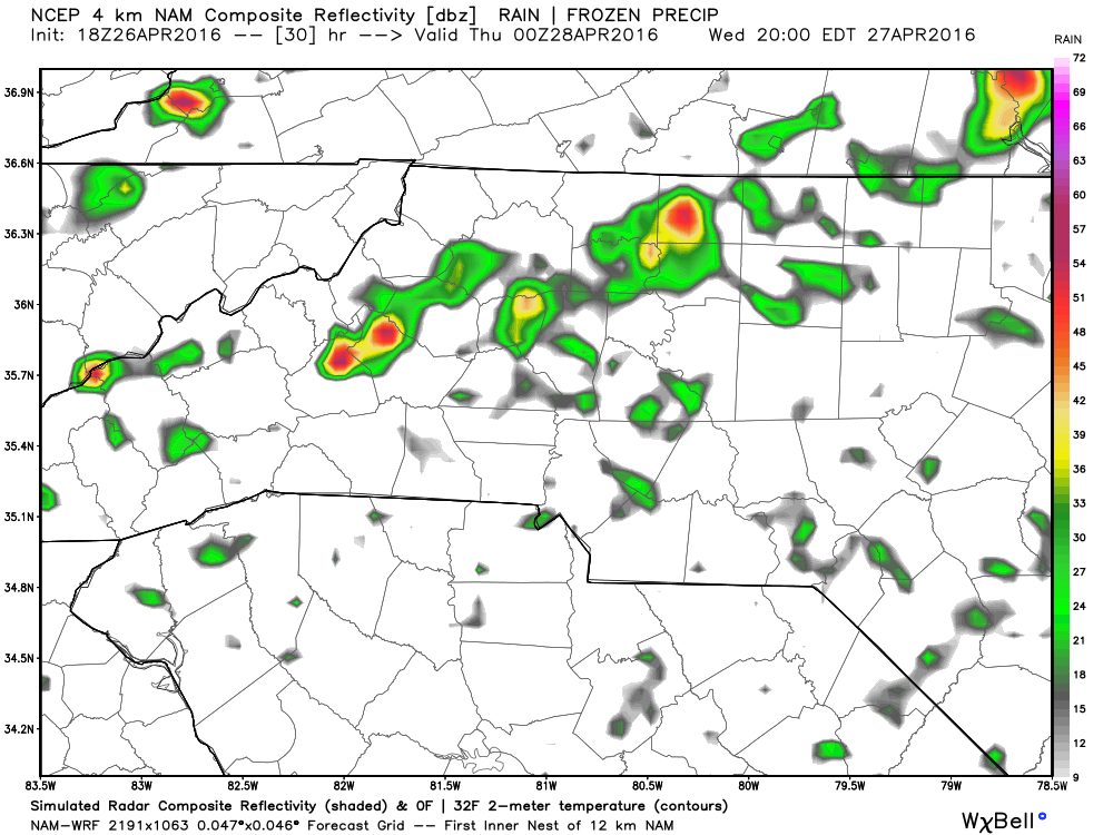
As you can see from the model above just a few isolated showers will be around at 8pm Wednesday evening.
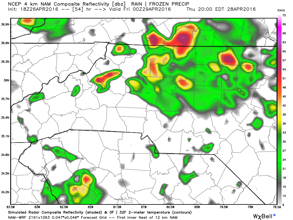
As we get into the day on Thursday the system has a little more organization to it.

As you can see at around 5 pm on Thursday more widespread shower and thunderstorm activity will be around.
We should start to see some clearing from this system after 9 pm on Thursday evening. There will be a chance for hail to occur but I feel that chance will stay south of the county and closer to the Gastonia area.
I'm not looking for much in the way of damaging winds from this system in the county as well.
I am looking at a total accumulation for both days combined at around three tenths to a half of an inch.
I will of course be posting updates right here and on social media as these showers and thunderstorms start to move into the county.
As always thank you for following Rowan County Weather!