
Thursday Rainfall Update
Just wanted to give a quick update for the timeline of rain moving into the county on Thursday. Again my main concern is localized flooding at this point. Not saying we couldn't see a strong thunderstorm but at this point it's not likely.
Thursday Morning around 8am we could see a few isolated showers break out ahead of the main batch of precipitation that will be moving into the mountains in the morning hours.

I am not expecting an all day rain event as we will see periods of breaks in the rainfall where we could see drizzle or mist mix in form time to time.
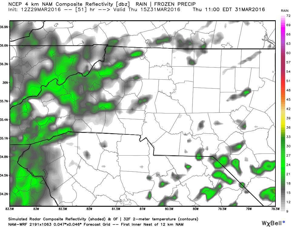
The main area of rainfall even into the early afternoon will mainly stay focused tot he mountains.

Things start to kind of pickup and get nasty with the evening commute at this point I do expect to see some thunderstorm activity start to develop However, again I think this activity will stay confined to the mountains and foothills.
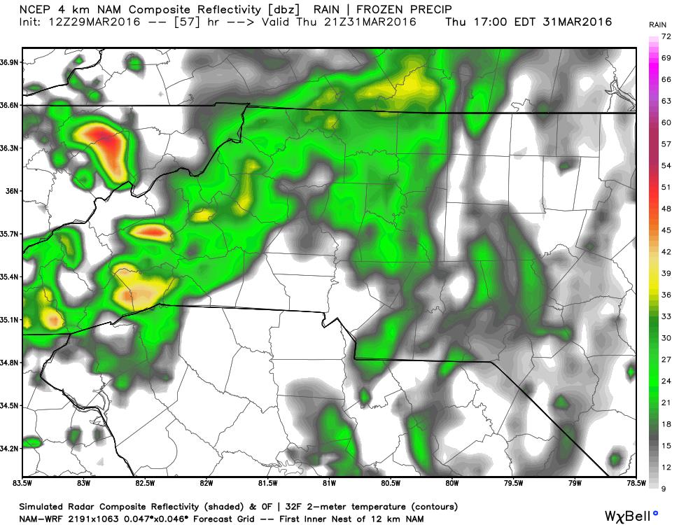
By the evening hours on Thursday we will be back into a situation of isolated showers. Again I think most of the heavy activity on Thursday stays confined to the mountains and foothills.

At this point I am still leaning toward localized flooding being the main threat. Rainfall amounts on Thursday could accumulate to around one and a quarter inches in some areas of the county on Thursday. Friday looks to be another day of wet weather where the concern for localized flooding will be even more of a focus. I will continue to check the models and post updates but as of now the only threat form this system coming in is localized flooding.
As always thank you for following Rowan County Weather!