
Slight Chance for Severe Weather on Monday
Spring is getting close and of course with the arrival of warmer weather the chance increases for severe weather. Tomorrow evening looks to be no exception. The first point to put across is the threat for a tornado is almost non existent. Shear levels and the STP predicted for tomorrow evening are really low. What we do have a fair amount of is (CAPE) in simple terms its thunderstorm fuel. 
As you can see pictured above the CAPE tomorrow evening is high enough for attention to be given to the potential for a light risk of severe weather in the county.
The NAM models show the potential for severe weather in the county tomorrow evening with hail being possible just north of the county.
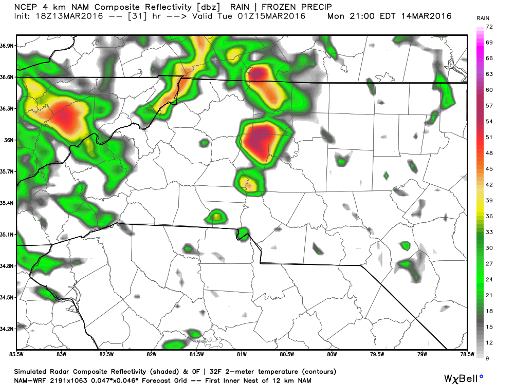
While my current thinking is severe weather is likely in the county tomorrow I think currently the hail threat will stay to our north. Now as with all weather forecast the possibility is that as the day goes on things could change. I will continue to monitor the models and of course the current activity as it happens. I will certainly continue to update things on Facebook and Twitter.
Remember you can always check the current radar on the home page of this site in between my post and updates.
As a;ways thank you for following Rowan County Weather!